Trail On foot Černošín - naučná stezka Krajinou bitvy u Třebele - Photo

naučná stezka Krajinou bitvy u Třebele

Tous les sentiers balisés d’Europe GUIDE+

© OpenStreetMap contributors
Length
Length
8.9 km
Max alt
Max alt
577 m
Uphill gradient
Uphill gradient
205 m
Km-Effort
Km-Effort  
11.4 km
Min alt
Min alt
485 m
Downhill gradient
Downhill gradient
127 m
Boucle
Boucle
No
Signpost
Signpost
Creation date :
2025-02-07 16:39:26.125
Updated on :
2025-02-07 16:39:26.125

(0 Reviews)

On foot
On foot
2h35
Difficulty : Easy

Scan this QR Code to open this trail in the SityTrail application

FREE GPS app for hiking

Logo SityTrail SityTrail

IGN / Geographical institutes

Download SityTrail from the App Store Download SityTrail from Google Play

Logo SityTrail SityTrail World

The world is yours!

Download SityTrail from the App Store Download SityTrail from Google Play Download SityTrail on Huawei AppGallery

About

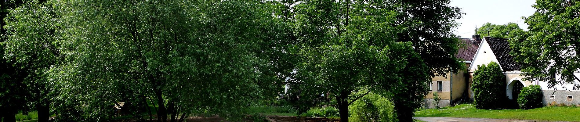
Trail On foot of 8.9 km to be discovered at Southwest, Plzeňský kraj, Černošín. This trail is proposed by SityTrail - itinéraires balisés pédestres.

Description

Trail created by cz:KČT.

Elevation profile

Photos

Positioning

Country:
Czech Republic
Region :
Southwest
Department/Province :
Plzeňský kraj
Municipality :
Černošín
Location:
Unknown
Start:(UTM)
344671 ; 5520909 (33U) N.

Trails nearby

Trail On foot Černošín - [Ž] Pod Třebelí - Volfštejn - Černošín - Krasíkov - Photo
On foot
GUIDE+

On foot

Medium
Černošín, Southwest, Plzeňský kraj, Czech Republic
18.6 km | 25 km-effort
5h 44min
No
Trail On foot Ošelín - [Z] Ošelín - Nad Záhořím - Photo
On foot
GUIDE+

On foot

Easy
Ošelín, Southwest, Plzeňský kraj, Czech Republic
3.2 km | 5.1 km-effort
1h 9min
No


Close
My subscriptions