


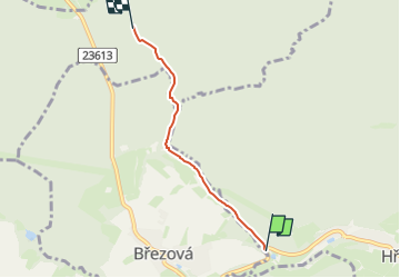

14.6 km | 19.8 km-effort

Tous les sentiers balisés d’Europe GUIDE+


FREE GPS app for hiking
 SityTrail
IGN / Geographical institutes
SityTrail World
The world is yours!
Trail On foot of 3.3 km to be discovered at Central Bohemia, Unknown, Hředle. This trail is proposed by SityTrail - itinéraires balisés pédestres.
Trail created by cz:KČT.


![Trail On foot Točník - [Z] Točník - Skryje - Photo](https://media.geolcdn.com/t/375/260/c112c8a5-8274-4fdb-8361-8c912e831baa.jpeg&format=jpg&maxdim=2)
On foot
![Trail On foot Zdice - [Z] Karlova Ves - Na Hřebeni - Photo](https://media.geolcdn.com/t/375/260/84a9eb58-c0e8-4239-982e-643287d19237.jpeg&format=jpg&maxdim=2)
On foot
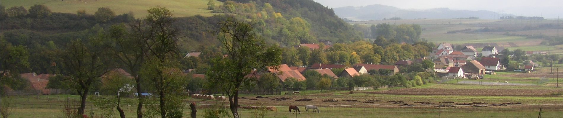
![Trail On foot Březová - [Ž] Točník - Veliz - Točník - okružní - Photo](https://media.geolcdn.com/t/375/260/d7395d73-c9fd-4468-8482-1f38139bc8d9.jpeg&format=jpg&maxdim=2)
On foot