


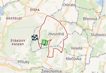

7 km | 9.9 km-effort


Tous les sentiers balisés d’Europe GUIDE+


FREE GPS app for hiking
 SityTrail
IGN / Geographical institutes
SityTrail World
The world is yours!
Trail On foot of 12.5 km to be discovered at Central Moravia, Zlínský kraj, Zlín. This trail is proposed by SityTrail - itinéraires balisés pédestres.


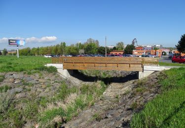
![Trail On foot Zlín - [M] Zlín (okruh) - Photo](https://media.geolcdn.com/t/375/260/d70e08d4-8624-424d-91ef-055786b91fef.jpeg&format=jpg&maxdim=2)
On foot
On foot