


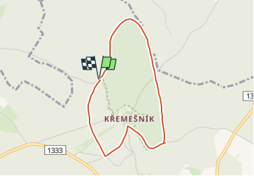

5.1 km | 7.5 km-effort

Tous les sentiers balisés d’Europe GUIDE+


FREE GPS app for hiking
 SityTrail
IGN / Geographical institutes
SityTrail World
The world is yours!
Trail On foot of 3.3 km to be discovered at Southeast, Kraj Vysočina, Nový Rychnov. This trail is proposed by SityTrail - itinéraires balisés pédestres.


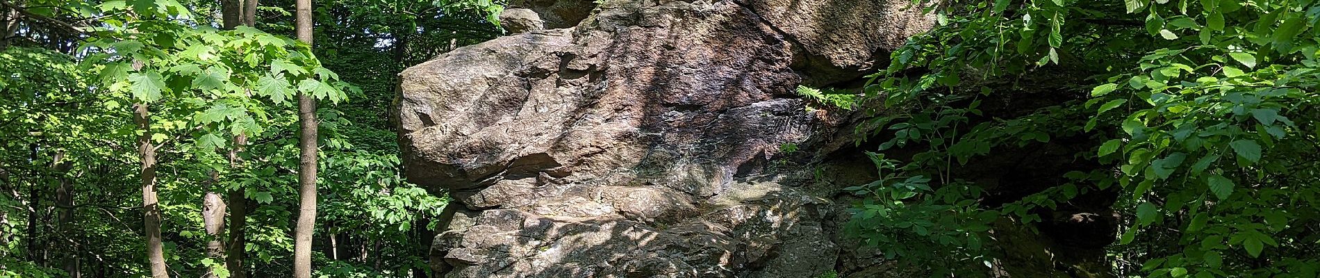
![Trail On foot Nový Rychnov - [Z] Křemešnický okruh - Photo](https://media.geolcdn.com/t/375/260/f11d492b-ddb0-4c5d-b682-83aa126fd453.jpeg&format=jpg&maxdim=2)
On foot