


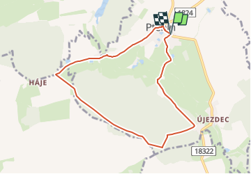

17.3 km | 21 km-effort

Tous les sentiers balisés d’Europe GUIDE+


FREE GPS app for hiking
 SityTrail
IGN / Geographical institutes
SityTrail World
The world is yours!
Trail On foot of 7.6 km to be discovered at Southwest, Plzeňský kraj, Ptenín. This trail is proposed by SityTrail - itinéraires balisés pédestres.
Trail created by cz:KČT.


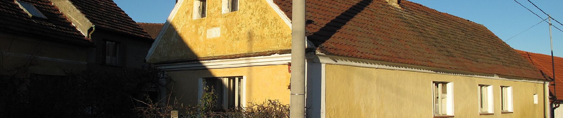
![Trail On foot Merklín - [M] Malý Malahov - Merklín - Photo](https://media.geolcdn.com/t/375/260/26476c46-778d-4fee-bdf5-f03d1246b808.jpeg&format=jpg&maxdim=2)
On foot