


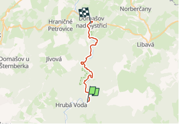

7.2 km | 9.6 km-effort

Tous les sentiers balisés d’Europe GUIDE+


FREE GPS app for hiking
 SityTrail
IGN / Geographical institutes
SityTrail World
The world is yours!
Trail On foot of 13.3 km to be discovered at Central Moravia, Olomouc Region, Hlubočky. This trail is proposed by SityTrail - itinéraires balisés pédestres.
Trail created by cz:KČT.


On foot
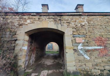
![Trail On foot Dolany - [Ž] Svatý kopeček - Pohořany - Photo](https://media.geolcdn.com/t/375/260/82dc9e37-b126-4d08-b297-3d283d21421e.jpeg&format=jpg&maxdim=2)
On foot