


11.9 km | 16.1 km-effort


Tous les sentiers balisés d’Europe GUIDE+


FREE GPS app for hiking
 SityTrail
IGN / Geographical institutes
SityTrail World
The world is yours!
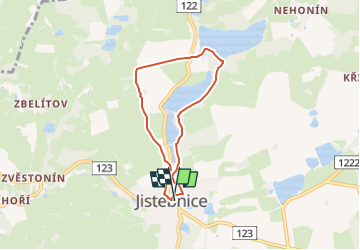
Trail On foot of 5.2 km to be discovered at Southwest, Jihočeský kraj, Jistebnice. This trail is proposed by SityTrail - itinéraires balisés pédestres.
Trail created by cz:KČT.


On foot
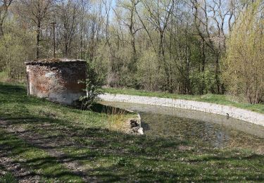
![Trail On foot Jistebnice - [Č] Padařov - Brtný - Photo](https://media.geolcdn.com/t/375/260/a1483124-2afc-449b-93fd-195f985d667b.jpeg&format=jpg&maxdim=2)
On foot