


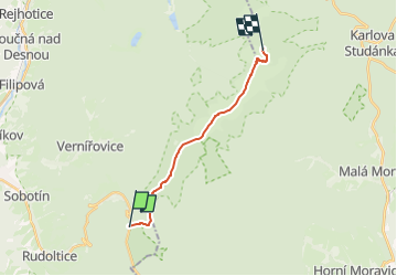

7.9 km | 13.5 km-effort

Tous les sentiers balisés d’Europe GUIDE+


FREE GPS app for hiking
 SityTrail
IGN / Geographical institutes
SityTrail World
The world is yours!
Trail On foot of 11.7 km to be discovered at Central Moravia, Olomouc Region, Sobotín. This trail is proposed by SityTrail - itinéraires balisés pédestres.
Trail created by cz:KČT.


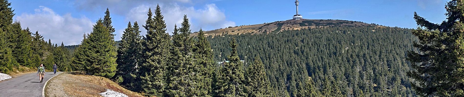
![Trail On foot Vernířovice - [M] U Františkovy myslivny - Kosaře - Photo](https://media.geolcdn.com/t/375/260/43aa4f93-e934-4aa4-a34b-03b734430cad.jpeg&format=jpg&maxdim=2)
On foot