


20 km | 29 km-effort


Tous les sentiers balisés d’Europe GUIDE+


FREE GPS app for hiking
 SityTrail
IGN / Geographical institutes
SityTrail World
The world is yours!
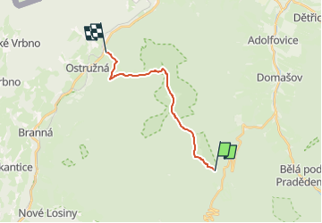
Trail On foot of 12 km to be discovered at Central Moravia, Olomouc Region, Loučná nad Desnou. This trail is proposed by SityTrail - itinéraires balisés pédestres.
Trail created by cz:ČZT.


![Trail On foot Vrbno pod Pradědem - [M] Vrbno pod Pradědem - U Obrázku - Photo](https://media.geolcdn.com/t/375/260/71a2ca10-9765-44fa-b01a-89152dd82c9d.jpeg&format=jpg&maxdim=2)
On foot

On foot
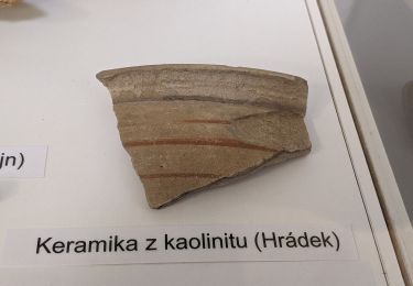
![Trail On foot Rapotín - [Ž] - Photo](https://media.geolcdn.com/t/375/260/ca426870-e86c-4a96-bde0-2f91190915ef.jpeg&format=jpg&maxdim=2)
On foot
On foot
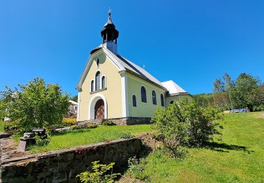
![Trail On foot Rapotín - [M] - Photo](https://media.geolcdn.com/t/375/260/2389b978-f881-4d49-8011-c5e6270880f1.jpeg&format=jpg&maxdim=2)
On foot
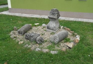
On foot
On foot
On foot
On foot