


11 km | 14.4 km-effort
![Trail On foot Tatenice - [M] Cukrová bouda - Tatenice - Photo](https://media.geolcdn.com/t/1900/400/d7936ed9-d5a8-4f9e-8f62-c7c3895a88ed.jpeg&format=pjpeg&maxdim=2)

Tous les sentiers balisés d’Europe GUIDE+


FREE GPS app for hiking
 SityTrail
IGN / Geographical institutes
SityTrail World
The world is yours!
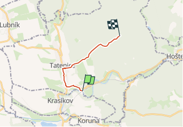
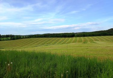
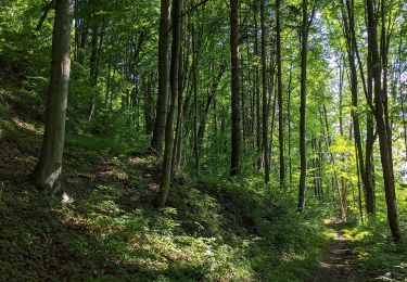
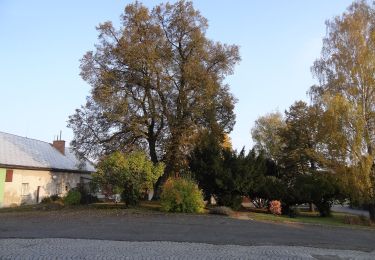
Trail On foot of 5.3 km to be discovered at Northeast, Pardubický kraj, Tatenice. This trail is proposed by SityTrail - itinéraires balisés pédestres.
Trail created by cz:KČT.
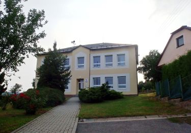
![Trail On foot Tatenice - [M] Cukrová bouda - Tatenice - Photo 1](https://media.geolcdn.com/t/2048/auto/252f14f4-90af-43ca-937e-1077fbf03c83.jpeg&format=jpg&maxdim=0 "Trail On foot Tatenice - [M] Cukrová bouda - Tatenice - Photo 1")
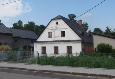
![Trail On foot Tatenice - [M] Cukrová bouda - Tatenice - Photo 2](https://media.geolcdn.com/t/2048/auto/cbd4decf-1b0a-4fb7-940a-775e520adf35.jpeg&format=jpg&maxdim=0 "Trail On foot Tatenice - [M] Cukrová bouda - Tatenice - Photo 2")
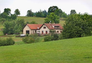
![Trail On foot Tatenice - [M] Cukrová bouda - Tatenice - Photo 3](https://media.geolcdn.com/t/2048/auto/1521900e-4148-47e7-9ce9-0e2f0774692a.jpeg&format=jpg&maxdim=0 "Trail On foot Tatenice - [M] Cukrová bouda - Tatenice - Photo 3")
![Trail On foot Tatenice - [M] Cukrová bouda - Tatenice - Photo 4](https://media.geolcdn.com/t/2048/auto/00d27e0c-a51c-40fd-bce7-07acc005dea7.jpeg&format=jpg&maxdim=0 "Trail On foot Tatenice - [M] Cukrová bouda - Tatenice - Photo 4")
![Trail On foot Tatenice - [M] Cukrová bouda - Tatenice - Photo 5](https://media.geolcdn.com/t/2048/auto/7991a4a7-3597-46a8-83b4-2e8d646ba3d1.jpeg&format=jpg&maxdim=0 "Trail On foot Tatenice - [M] Cukrová bouda - Tatenice - Photo 5")
![Trail On foot Tatenice - [M] Cukrová bouda - Tatenice - Photo 6](https://media.geolcdn.com/t/2048/auto/edee1b1b-e7a9-46c2-b6cd-f60acc40d09a.jpeg&format=jpg&maxdim=0 "Trail On foot Tatenice - [M] Cukrová bouda - Tatenice - Photo 6")
![Trail On foot Tatenice - [M] Cukrová bouda - Tatenice - Photo 7](https://media.geolcdn.com/t/2048/auto/b3782de7-bfcd-4eb1-b3f9-0dd6d19d441a.jpeg&format=jpg&maxdim=0 "Trail On foot Tatenice - [M] Cukrová bouda - Tatenice - Photo 7")
![Trail On foot Tatenice - [M] Cukrová bouda - Tatenice - Photo 8](https://media.geolcdn.com/t/2048/auto/0608dc89-9ede-4e33-b12a-3815b52ba543.jpeg&format=jpg&maxdim=0 "Trail On foot Tatenice - [M] Cukrová bouda - Tatenice - Photo 8")
![Trail On foot Tatenice - [M] Cukrová bouda - Tatenice - Photo 9](https://media.geolcdn.com/t/2048/auto/ebcf825a-672e-4508-ad89-e8da467dd244.jpeg&format=jpg&maxdim=0 "Trail On foot Tatenice - [M] Cukrová bouda - Tatenice - Photo 9")
![Trail On foot Tatenice - [M] Cukrová bouda - Tatenice - Photo 10](https://media.geolcdn.com/t/2048/auto/d7936ed9-d5a8-4f9e-8f62-c7c3895a88ed.jpeg&format=jpg&maxdim=0 "Trail On foot Tatenice - [M] Cukrová bouda - Tatenice - Photo 10")
On foot
On foot
On foot
On foot
On foot
![Trail On foot Kukle - [Č] Vozíčkářský okruh nad Rosničkou - Photo](https://media.geolcdn.com/t/375/260/a09e8f9b-db43-4592-b8eb-0648f5280109.jpeg&format=jpg&maxdim=2)
On foot
![Trail On foot Česká Třebová - [Ž] Pod Kozlovcem - Pod Skuhrovem - Photo](https://media.geolcdn.com/t/375/260/e10c881f-a244-44ac-b766-3afd8215abfb.jpeg&format=jpg&maxdim=2)
On foot
![Trail On foot Cotkytle - [Ž] Lanšperk-Mariánská hora - Photo](https://media.geolcdn.com/t/375/260/5d1ac99b-b532-46d6-b8e1-ac28f3b9033f.jpeg&format=jpg&maxdim=2)
On foot
On foot