Trail On foot Město Albrechtice - Graniczny wierch - Photo

Tous les sentiers balisés d’Europe GUIDE+

© OpenStreetMap contributors
Length
Length
3.3 km
Max alt
Max alt
545 m
Uphill gradient
Uphill gradient
12 m
Km-Effort
Km-Effort  
4.1 km
Min alt
Min alt
366 m
Downhill gradient
Downhill gradient
180 m
Boucle
Boucle
No
Signpost
Signpost
Creation date :
2025-02-07 10:50:17.054
Updated on :
2025-02-07 10:50:17.054

(0 Reviews)

On foot
On foot
55m
Difficulty : Easy

Scan this QR Code to open this trail in the SityTrail application

FREE GPS app for hiking

Logo SityTrail SityTrail

IGN / Geographical institutes

Download SityTrail from the App Store Download SityTrail from Google Play

Logo SityTrail SityTrail World

The world is yours!

Download SityTrail from the App Store Download SityTrail from Google Play Download SityTrail on Huawei AppGallery

About

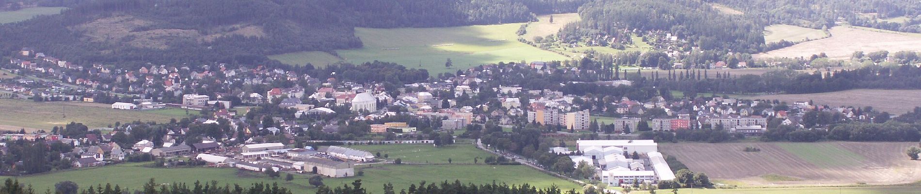
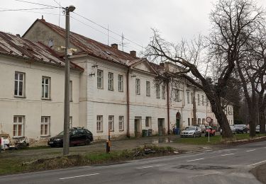
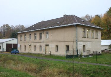
Trail On foot of 3.3 km to be discovered at Moravia-Silesia, Moravskoslezský kraj, Město Albrechtice. This trail is proposed by SityTrail - itinéraires balisés pédestres.

Elevation profile

Photos

Positioning

Country:
Czech Republic
Region :
Moravia-Silesia
Department/Province :
Moravskoslezský kraj
Municipality :
Město Albrechtice
Location:
Unknown
Start:(UTM)
685955 ; 5560959 (33U) N.

Trails nearby

Trail On foot Město Albrechtice - [Ž] Albrechtice - Petrovy boudy - Photo
On foot
GUIDE+

On foot

Difficult
Město Albrechtice, Moravia-Silesia, Moravskoslezský kraj, Czech Republic
22 km | 33 km-effort
7h 25min
No
Trail On foot Město Albrechtice - Vycházková stezka Dubí - Photo
On foot
GUIDE+

On foot

Easy
Město Albrechtice, Moravia-Silesia, Moravskoslezský kraj, Czech Republic
3.4 km | 5.1 km-effort
1h 9min
Yes
Trail On foot Město Albrechtice - Městský turistický okruh - Photo
On foot
GUIDE+

On foot

Difficult
Město Albrechtice, Moravia-Silesia, Moravskoslezský kraj, Czech Republic
27 km | 37 km-effort
8h 27min
No


Close
My subscriptions