


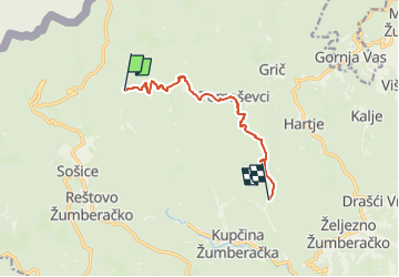

7 km | 11.3 km-effort

Tous les sentiers balisés d’Europe GUIDE+


FREE GPS app for hiking
 SityTrail
IGN / Geographical institutes
SityTrail World
The world is yours!
Trail On foot of 7.5 km to be discovered at Unknown, Zagreb County. This trail is proposed by SityTrail - itinéraires balisés pédestres.
Trail created by PŠK Trešnjevka-Monter, Zagreb.
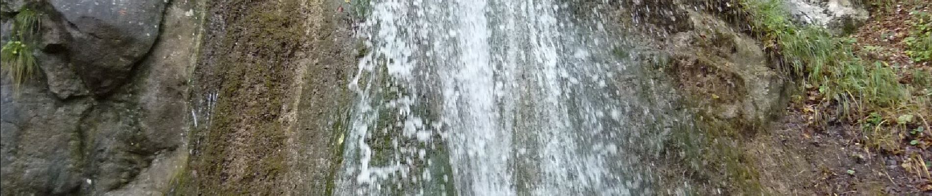
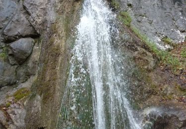
Bernardići (Žumberak) - crkva sv. Nikole i Žumberački pil - Tomaševci - Kekić Draga - Sopotski slap

On foot
On foot
On foot

On foot
On foot
On foot