


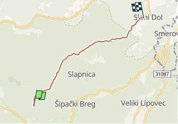

7.1 km | 9.8 km-effort


Tous les sentiers balisés d’Europe GUIDE+


FREE GPS app for hiking
 SityTrail
IGN / Geographical institutes
SityTrail World
The world is yours!
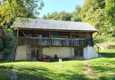
Trail On foot of 4.3 km to be discovered at Unknown, Zagreb County. This trail is proposed by SityTrail - itinéraires balisés pédestres.
Trail created by Sveti Bernard, Samobor.
Zadnja stanica autobusa U Slanom Dolu - (X) odvojak za Smerovišće u Slanom Dolu - Mali Lovnik - (X) gostinjac Sv. Bernard s putom 59 za Veliki Lovnik - (X) s putom 57 koji dolazi od Šoićeve kuće


On foot
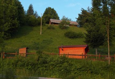
On foot

On foot
On foot
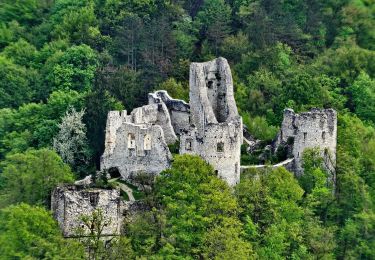
On foot
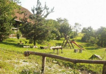
On foot
On foot

On foot