Trail On foot Rotava - Naučná stezka Rotavské varhany - Photo

Naučná stezka Rotavské varhany

Tous les sentiers balisés d’Europe GUIDE+

© OpenStreetMap contributors
Length
Length
6.3 km
Max alt
Max alt
644 m
Uphill gradient
Uphill gradient
177 m
Km-Effort
Km-Effort  
8.6 km
Min alt
Min alt
549 m
Downhill gradient
Downhill gradient
170 m
Boucle
Boucle
Yes
Signpost
Signpost
Creation date :
2025-02-07 10:13:46.539
Updated on :
2025-02-07 10:13:46.539

(0 Reviews)

On foot
On foot
1h57
Difficulty : Easy

Scan this QR Code to open this trail in the SityTrail application

FREE GPS app for hiking

Logo SityTrail SityTrail

IGN / Geographical institutes

Download SityTrail from the App Store Download SityTrail from Google Play

Logo SityTrail SityTrail World

The world is yours!

Download SityTrail from the App Store Download SityTrail from Google Play Download SityTrail on Huawei AppGallery

About

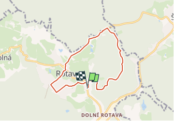
Trail On foot of 6.3 km to be discovered at Northwest, Karlovarský kraj, Rotava. This trail is proposed by SityTrail - itinéraires balisés pédestres.

Description

Trail created by cz:KČT.
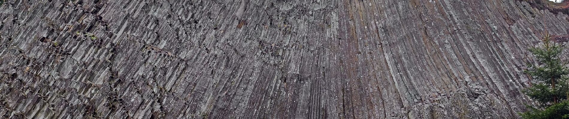
Elevation profile

Photos

Positioning

Country:
Czech Republic
Region :
Northwest
Department/Province :
Karlovarský kraj
Municipality :
Rotava
Location:
Unknown
Start:(UTM)
326807 ; 5575099 (33U) N.

Trails nearby

Trail On foot Rotava - [Ž] Pod Favoritem - Pod Rotavskou myslivnou - Photo
On foot
GUIDE+

On foot

Easy
Rotava, Northwest, Karlovarský kraj, Czech Republic
3.7 km | 5 km-effort
1h 8min
No
Trail On foot Kraslice - [Ž] Pod Počáteckým vrchem - Kraslice - Photo
On foot
GUIDE+

On foot

Easy
Kraslice, Northwest, Karlovarský kraj, Czech Republic
7.8 km | 11.2 km-effort
2h 32min
No


Close
My subscriptions