


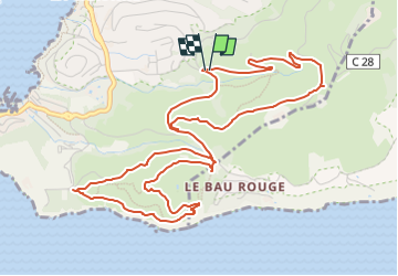

12.5 km | 19.9 km-effort


User


FREE GPS app for hiking
 SityTrail
IGN / Geographical institutes
SityTrail World
The world is yours!
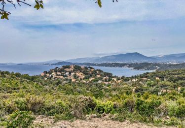
Trail Walking of 7 km to be discovered at Provence-Alpes-Côte d'Azur, Var, Le Pradet. This trail is proposed by Berpav.
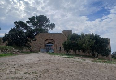
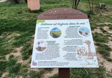
Le sentier de découverte Jean François Jube débute devant l'entrée du Musée de la Mine. Il vous permettra, au travers des panneaux informatifs et des tables d’orientation de découvrir la diversité, la richesse de ce site et le patrimoine bâti qui date de l’exploitation de la mine...

Walking

Walking

On foot

Cycle
Walking
Walking
Walking
Walking
Walking