


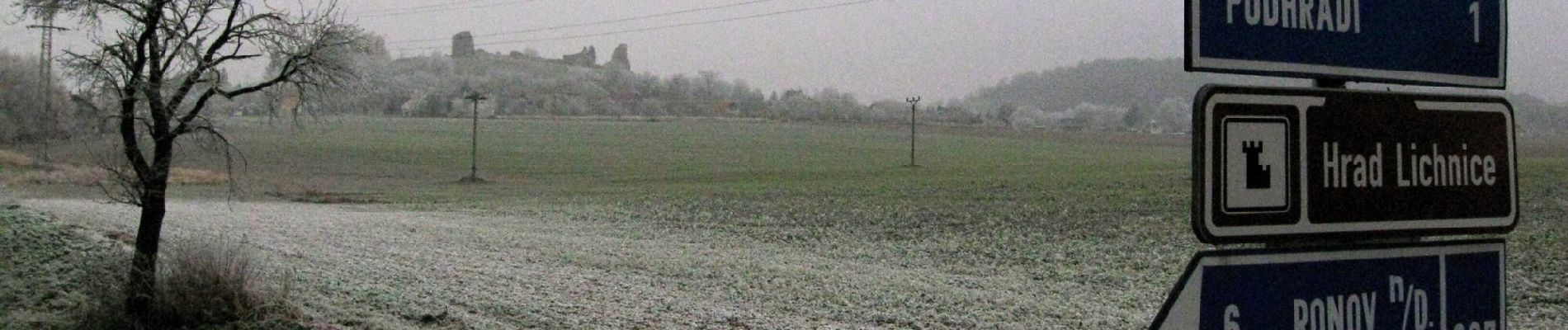
6.2 km | 7.4 km-effort

Tous les sentiers balisés d’Europe GUIDE+


FREE GPS app for hiking
 SityTrail
IGN / Geographical institutes
SityTrail World
The world is yours!
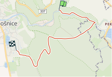
Trail On foot of 3.3 km to be discovered at Northeast, Pardubický kraj, Třemošnice. This trail is proposed by SityTrail - itinéraires balisés pédestres.
Trail created by cz:KČT.


![Trail On foot Třemošnice - [Ž] Údolím Doubravy (Pařížov - Třemošnice) - Photo](https://media.geolcdn.com/t/375/260/128e315c-4870-4181-9cde-93bc9f6c90c5.jpeg&format=jpg&maxdim=2)
On foot
![Trail On foot Běstvina - [Z] Běstvina - Seč - Photo](https://media.geolcdn.com/t/375/260/1fe36d45-751d-4c3f-8910-968f469449fc.jpeg&format=jpg&maxdim=2)
On foot