


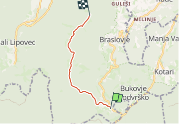

4.3 km | 6.2 km-effort

Tous les sentiers balisés d’Europe GUIDE+


FREE GPS app for hiking
 SityTrail
IGN / Geographical institutes
SityTrail World
The world is yours!
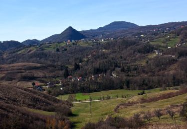
Trail On foot of 3.7 km to be discovered at Unknown, Zagreb County. This trail is proposed by SityTrail - itinéraires balisés pédestres.
Trail created by HPD Željezničar, Zagreb.
(X) željezno raspelo - Prekrižje - vrh Rancerje - sedlo Preseka - Pl. dom na Oštrcu


On foot
On foot

On foot

On foot
On foot