


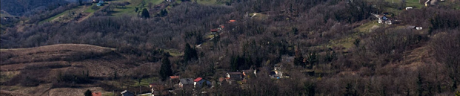
3.7 km | 4.7 km-effort

Tous les sentiers balisés d’Europe GUIDE+


FREE GPS app for hiking
 SityTrail
IGN / Geographical institutes
SityTrail World
The world is yours!
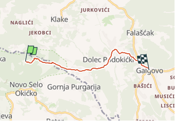
Trail On foot of 4.2 km to be discovered at Unknown, Zagreb County. This trail is proposed by SityTrail - itinéraires balisés pédestres.
Trail created by PDS Velebit, Zagreb.
Galgovo (a.p.) - Sv. Martin (a.p.) - X s Mihinom stazom - Podgrađe (a.p.) - Domovići - (X) 8 pod Okićem


On foot


On foot
On foot

On foot