


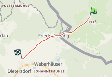

9.4 km | 12.9 km-effort

Tous les sentiers balisés d’Europe GUIDE+


FREE GPS app for hiking
 SityTrail
IGN / Geographical institutes
SityTrail World
The world is yours!
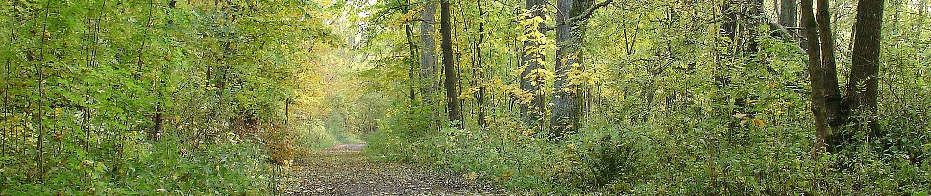
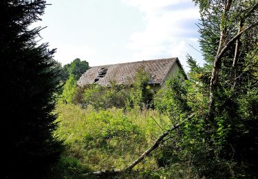
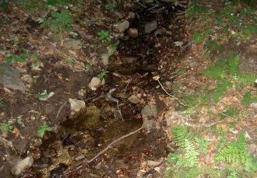
Trail On foot of 3.3 km to be discovered at Southwest, Plzeňský kraj, Bělá nad Radbuzou. This trail is proposed by SityTrail - itinéraires balisés pédestres.
Trail created by Schönseer Land.
Symbol: auf gelbem, rechteckigen Grund in schwarz die Wegnummer


On foot
On foot

On foot

Electric bike