


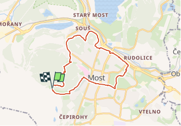

3.9 km | 5.1 km-effort

Tous les sentiers balisés d’Europe GUIDE+


FREE GPS app for hiking
 SityTrail
IGN / Geographical institutes
SityTrail World
The world is yours!
Trail On foot of 13.8 km to be discovered at Northwest, Ústecký kraj, Most. This trail is proposed by SityTrail - itinéraires balisés pédestres.
Trail created by cz:KČT.


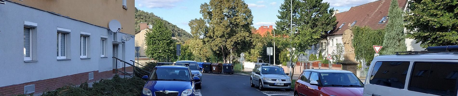
![Trail On foot Most - [M] Po stopách magistra Edwarda Kelleyho - Photo](https://media.geolcdn.com/t/375/260/5df09c52-675f-49ac-827d-5202529fcf32.jpeg&format=jpg&maxdim=2)
On foot