


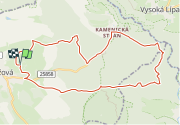

14.3 km | 22 km-effort

Tous les sentiers balisés d’Europe GUIDE+


FREE GPS app for hiking
 SityTrail
IGN / Geographical institutes
SityTrail World
The world is yours!
Trail On foot of 10.5 km to be discovered at Northwest, Ústecký kraj, Růžová. This trail is proposed by SityTrail - itinéraires balisés pédestres.
Trail created by cz:KČT.


On foot
Walking

Walking
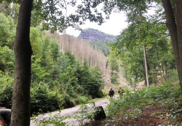
![Trail On foot Huntířov - [Z] Oleška - Srbská Kamenice - Photo](https://media.geolcdn.com/t/375/260/b671590f-17dc-4f55-a338-c89d99bb2f15.jpeg&format=jpg&maxdim=2)
On foot