


9 km | 12.2 km-effort

Tous les sentiers balisés d’Europe GUIDE+


FREE GPS app for hiking
 SityTrail
IGN / Geographical institutes
SityTrail World
The world is yours!
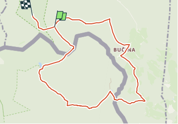
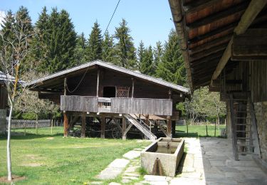
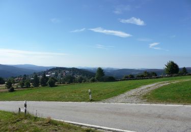
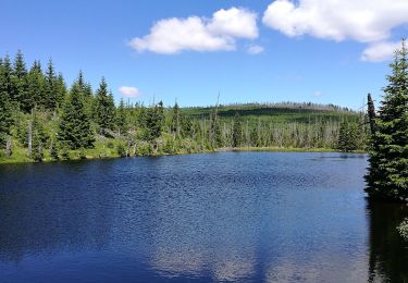
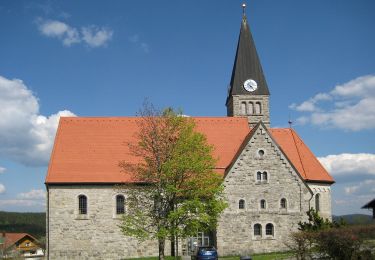
Trail On foot of 10.6 km to be discovered at Southwest, Jihočeský kraj, Kvilda. This trail is proposed by SityTrail - itinéraires balisés pédestres.
Trail created by Nationalpark Bayerischer Wald · Národní park Šumava.
Symbol: Tiersymbol und zweisprachiger Schriftzug in schwarz auf gelbem, quadratischen Grund mit grünem, diagonal fallendem Querstrich


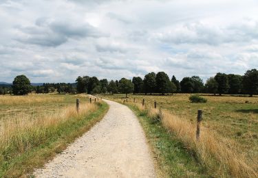
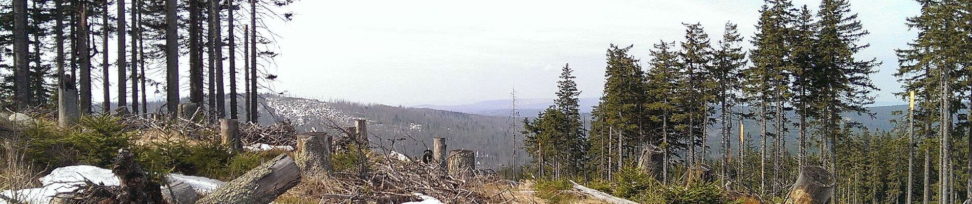
On foot
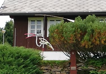
On foot
On foot
On foot
On foot
On foot