


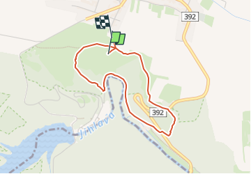

3.3 km | 4.7 km-effort

Tous les sentiers balisés d’Europe GUIDE+


FREE GPS app for hiking
 SityTrail
IGN / Geographical institutes
SityTrail World
The world is yours!
Trail On foot of 3.2 km to be discovered at Southeast, Kraj Vysočina, Mohelno. This trail is proposed by SityTrail - itinéraires balisés pédestres.
Trail created by Agentura ochrany přírody a krajiny ČR.


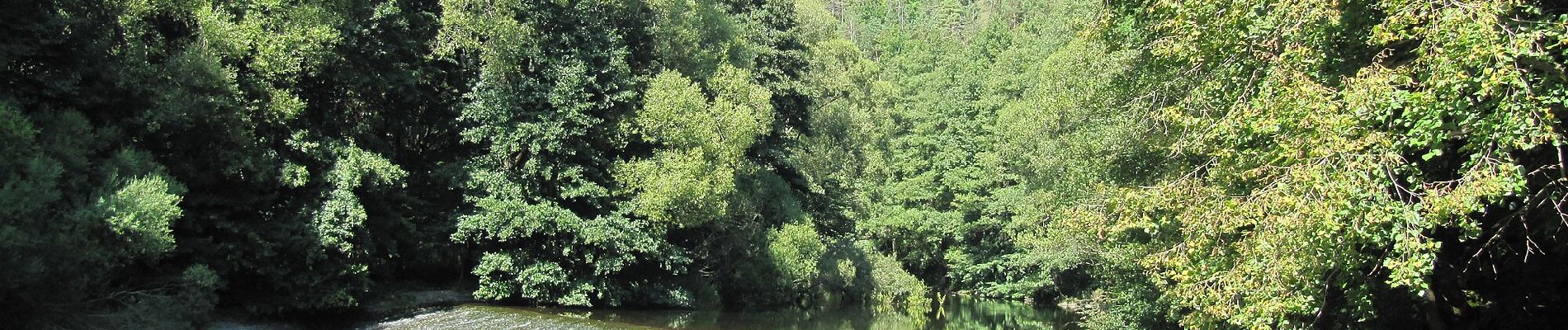
![Trail On foot Náměšť nad Oslavou - [Ž] Náměšť nad Oslavou - Bába - Photo](https://media.geolcdn.com/t/375/260/8da42828-a837-4296-8ed8-042629ea6d88.jpeg&format=jpg&maxdim=2)
On foot
![Trail On foot Brno - [Z] Devět křížů - Obora - Photo](https://media.geolcdn.com/t/375/260/ext.jpg?maxdim=2&url=https%3A%2F%2Fstatic1.geolcdn.com%2Fsiteimages%2Fupload%2Ffiles%2F1545311037marcheuse_200dpi.jpg)
On foot
On foot