![](/images/other/stat-length.png)
![Trail On foot Starý Hrozenkov - NS Okolo Hrozenka - Photo](https://media.geolcdn.com/t/1900/400/0e497659-141e-4f06-bfe1-d01becb24d4c.jpeg&format=pjpeg&maxdim=2)
NS Okolo Hrozenka
SityTrail - itinéraires balisés pédestres
Tous les sentiers balisés d’Europe GUIDE+
![Length](/images/other/stat-length.png)
Length
20 km
![Max alt](https://static1.geolcdn.com/siteimages/upload/files/1508320355ic_sort_altitude_max_24dp.png)
Max alt
767 m
![Uphill gradient](https://static1.geolcdn.com/siteimages/upload/files/1508320355ic_sort_den_pos_24dp.png)
Uphill gradient
696 m
![Km-Effort](/images/other/stat-length.png)
Km-Effort
30 km
![Min alt](https://static1.geolcdn.com/siteimages/upload/files/1508320355ic_sort_altitude_min_24dp.png)
Min alt
348 m
![Downhill gradient](https://static1.geolcdn.com/siteimages/upload/files/1508320355ic_sort_den_neg_24dp.png)
Downhill gradient
696 m
![Boucle](https://static1.geolcdn.com/siteimages/upload/files/16400158638029165_repeat_loop_refresh_sync_direction_icon.png)
Boucle
Yes
Signpost
Creation date :
2025-02-07 00:52:09.75
Updated on :
2025-02-07 00:52:09.75
![On foot](https://static1.geolcdn.com/sitytour/trail-icons/100.png)
6h43
Difficulty : Medium
![Scan this QR Code to open this trail in the SityTrail application](https://capi.geolives.com/qq0zvz2zws4bq2lad0pu/sitytour/trails/4344349/qr.png?size=200)
FREE GPS app for hiking
About
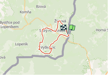
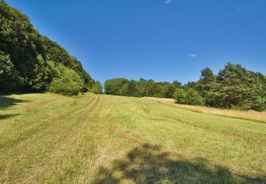
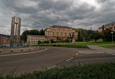
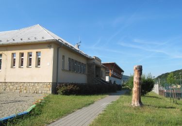
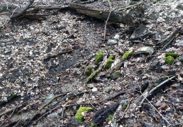
Trail On foot of 20 km to be discovered at Central Moravia, Zlínský kraj, Starý Hrozenkov. This trail is proposed by SityTrail - itinéraires balisés pédestres.
Description
Trail created by cz:KČT.
Positioning
Country:
Czech Republic
Region :
Central Moravia
Department/Province :
Zlínský kraj
Municipality :
Starý Hrozenkov
Location:
Unknown
Start:(Dec)
Start:(UTM)
712097 ; 5427087 (33U) N.
Comments
Trails nearby
![Trail On foot District of Nové Mesto nad Váhom - Náučný chodník Brestovec - Stará Myjava - Topolecká - Photo](https://media.geolcdn.com/t/375/260/0f1a443f-2206-4c7f-8559-a63027eb9211.jpeg&format=jpg&maxdim=2)
![On foot On foot](https://static1.geolcdn.com/sitytour/trail-icons/100.png)
Náučný chodník Brestovec - Stará Myjava - Topolecká
On foot
Easy
District of Nové Mesto nad Váhom,
Region of Trenčín,
Unknown,
Slovakia
![](/images/other/stat-length.png)
11.2 km | 16.7 km-effort
3h 47min
![](https://static1.geolcdn.com/siteimages/upload/files/16400158638029165_repeat_loop_refresh_sync_direction_icon.png)
No
![Trail On foot Valašské Klobouky - Hložecký okruh - Photo](https://media.geolcdn.com/t/375/260/f38cf278-ac3b-4bdb-b192-af5c4a0139ac.jpeg&format=jpg&maxdim=2)
![On foot On foot](https://static1.geolcdn.com/sitytour/trail-icons/100.png)
Hložecký okruh
On foot
Easy
Valašské Klobouky,
Central Moravia,
Zlínský kraj,
Czech Republic
![](/images/other/stat-length.png)
4.2 km | 6.1 km-effort
1h 23min
![](https://static1.geolcdn.com/siteimages/upload/files/16400158638029165_repeat_loop_refresh_sync_direction_icon.png)
Yes
![Trail On foot Valašské Klobouky - Naučná stezka Královec - Photo](https://media.geolcdn.com/t/375/260/e77b9c97-4a24-4f58-a17e-bf071e796436.jpeg&format=jpg&maxdim=2)
![On foot On foot](https://static1.geolcdn.com/sitytour/trail-icons/100.png)
Naučná stezka Královec
On foot
Easy
Valašské Klobouky,
Central Moravia,
Zlínský kraj,
Czech Republic
![](/images/other/stat-length.png)
5.5 km | 8.8 km-effort
2h 0min
![](https://static1.geolcdn.com/siteimages/upload/files/16400158638029165_repeat_loop_refresh_sync_direction_icon.png)
Yes
![Trail On foot Strání - Naučná stezka Květná - Photo](https://media.geolcdn.com/t/375/260/d0804eb0-38cf-4ccf-b530-93210dfbbfc8.jpeg&format=jpg&maxdim=2)
![On foot On foot](https://static1.geolcdn.com/sitytour/trail-icons/100.png)
Naučná stezka Květná
On foot
Easy
Strání,
Central Moravia,
Zlínský kraj,
Czech Republic
![](/images/other/stat-length.png)
6.8 km | 9.9 km-effort
2h 15min
![](https://static1.geolcdn.com/siteimages/upload/files/16400158638029165_repeat_loop_refresh_sync_direction_icon.png)
Yes
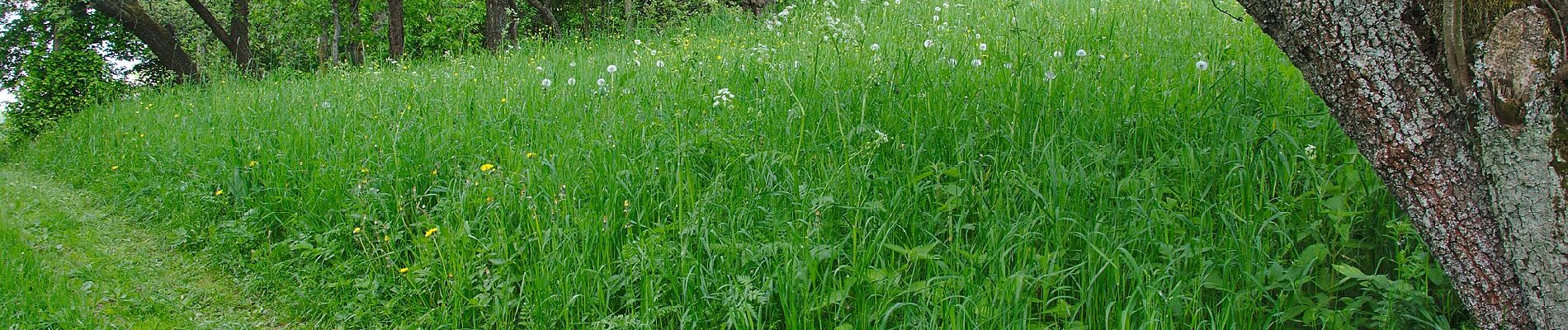
![Trail On foot Bánov - [Ž] Pod Malým Lopeníkem - Obecní háj - Photo](https://media.geolcdn.com/t/375/260/ee2ac329-a8ee-43ad-a0c5-6b716a09a451.jpeg&format=jpg&maxdim=2)
![On foot On foot](https://static1.geolcdn.com/sitytour/trail-icons/100.png)
[Ž] Pod Malým Lopeníkem - Obecní háj
On foot
Easy
Bánov,
Central Moravia,
Zlínský kraj,
Czech Republic
![](/images/other/stat-length.png)
5 km | 9.1 km-effort
2h 3min
![](https://static1.geolcdn.com/siteimages/upload/files/16400158638029165_repeat_loop_refresh_sync_direction_icon.png)
No
![Trail On foot Lopeník - Lopeník - Photo](https://media.geolcdn.com/t/375/260/9cd1ae01-85e3-419e-8da0-5efb7e56561f.jpeg&format=jpg&maxdim=2)
![On foot On foot](https://static1.geolcdn.com/sitytour/trail-icons/100.png)
Lopeník
On foot
Easy
Lopeník,
Central Moravia,
Zlínský kraj,
Czech Republic
![](/images/other/stat-length.png)
6.4 km | 9.1 km-effort
2h 4min
![](https://static1.geolcdn.com/siteimages/upload/files/16400158638029165_repeat_loop_refresh_sync_direction_icon.png)
No
![Trail On foot Pozlovice - Okruh Dušana Jurkoviče - Photo](https://media.geolcdn.com/t/375/260/728a1a50-464e-4f74-a621-e75709e35c9d.jpeg&format=jpg&maxdim=2)
![On foot On foot](https://static1.geolcdn.com/sitytour/trail-icons/100.png)
Okruh Dušana Jurkoviče
On foot
Easy
Pozlovice,
Central Moravia,
Zlínský kraj,
Czech Republic
![](/images/other/stat-length.png)
7.3 km | 10.5 km-effort
2h 22min
![](https://static1.geolcdn.com/siteimages/upload/files/16400158638029165_repeat_loop_refresh_sync_direction_icon.png)
No
![Trail On foot Sehradice - CZ-luhačovická přehrada;loučky - Photo](https://media.geolcdn.com/t/375/260/e333b3dc-0bbd-440e-8b73-f0b71e5aa847.jpeg&format=jpg&maxdim=2)
![On foot On foot](https://static1.geolcdn.com/sitytour/trail-icons/100.png)
CZ-luhačovická přehrada;loučky
On foot
Easy
Sehradice,
Central Moravia,
Zlínský kraj,
Czech Republic
![](/images/other/stat-length.png)
6.2 km | 8.1 km-effort
1h 50min
![](https://static1.geolcdn.com/siteimages/upload/files/16400158638029165_repeat_loop_refresh_sync_direction_icon.png)
No
![Trail On foot District of Trenčín - Jastrabská](https://media.geolcdn.com/t/375/260/f5d2ba1c-1e38-4c67-a22d-c29bd6bc1e9a.jpeg&format=jpg&maxdim=2)
![On foot On foot](https://static1.geolcdn.com/sitytour/trail-icons/100.png)
Jastrabská "25"
On foot
Easy
District of Trenčín,
Region of Trenčín,
Unknown,
Slovakia
![](/images/other/stat-length.png)
10.7 km | 16.6 km-effort
3h 46min
![](https://static1.geolcdn.com/siteimages/upload/files/16400158638029165_repeat_loop_refresh_sync_direction_icon.png)
No