


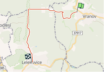

4.3 km | 5.9 km-effort


Tous les sentiers balisés d’Europe GUIDE+


FREE GPS app for hiking
 SityTrail
IGN / Geographical institutes
SityTrail World
The world is yours!
Trail On foot of 5 km to be discovered at Southeast, Jihomoravský kraj, Vranov. This trail is proposed by SityTrail - itinéraires balisés pédestres.
Trail created by cz:ECB.
Website: http://www.ecb.cz/stezka_zdravi/
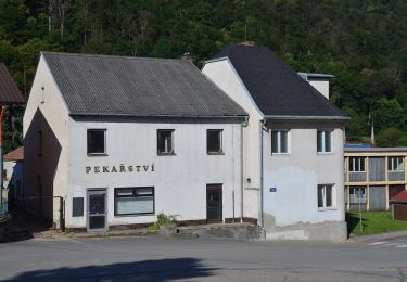
 - Photo 1")
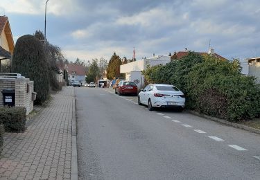
 - Photo 2")
 - Photo 3")
 - Photo 4")
 - Photo 5")
 - Photo 6")
 - Photo 7")
 - Photo 8")
 - Photo 9")
 - Photo 10")
On foot
On foot