


6.6 km | 9 km-effort

Tous les sentiers balisés d’Europe GUIDE+


FREE GPS app for hiking
 SityTrail
IGN / Geographical institutes
SityTrail World
The world is yours!
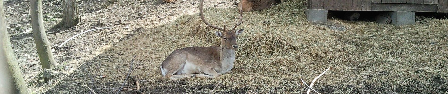
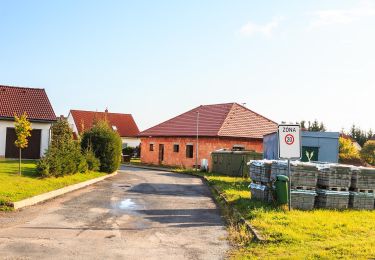
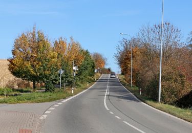
Trail On foot of 4.5 km to be discovered at Northeast, Pardubický kraj, Skuteč. This trail is proposed by SityTrail - itinéraires balisés pédestres.
Trail created by cz:KČT.


On foot
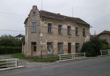
![Trail On foot České Lhotice - [Z] Libáň - Křižanovická přehrada - Photo](https://media.geolcdn.com/t/375/260/2ce85a53-5231-488f-9215-22bd0c81978f.jpeg&format=jpg&maxdim=2)
On foot
On foot
On foot
On foot
On foot
On foot
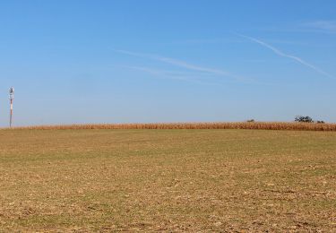
![Trail On foot Rabštejnská Lhota - [Ž] Chrudim - Podhůra - Rabštejnská Lhota - Photo](https://media.geolcdn.com/t/375/260/a13872a9-b837-4337-b291-a43ad8f7a8bb.jpeg&format=jpg&maxdim=2)
On foot
On foot