


41 km | 49 km-effort
![Trail On foot Hrádek nad Nisou - [M] Hrádek nad Nisou (okruh) - Photo](https://media.geolcdn.com/t/1900/400/6f4bfcbc-88e0-401e-bed7-00090c8df757.jpeg&format=pjpeg&maxdim=2)

Tous les sentiers balisés d’Europe GUIDE+


FREE GPS app for hiking
 SityTrail
IGN / Geographical institutes
SityTrail World
The world is yours!
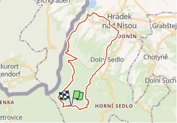
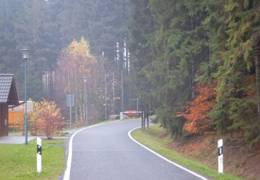
Trail On foot of 14.3 km to be discovered at Northeast, Liberecký kraj, Hrádek nad Nisou. This trail is proposed by SityTrail - itinéraires balisés pédestres.
Trail created by cz:KČT.
Symbol: Blauer Strich auf weißem Grund
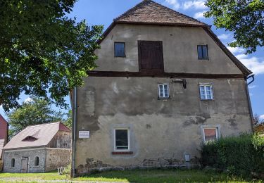
![Trail On foot Hrádek nad Nisou - [M] Hrádek nad Nisou (okruh) - Photo 1](https://media.geolcdn.com/t/2048/auto/24746740-546e-48e6-82ef-d2b17bd619e9.jpeg&format=jpg&maxdim=0 "Trail On foot Hrádek nad Nisou - [M] Hrádek nad Nisou (okruh) - Photo 1")
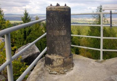
![Trail On foot Hrádek nad Nisou - [M] Hrádek nad Nisou (okruh) - Photo 2](https://media.geolcdn.com/t/2048/auto/c4eae018-1b72-454f-b6b7-7eca2a90bac5.jpeg&format=jpg&maxdim=0 "Trail On foot Hrádek nad Nisou - [M] Hrádek nad Nisou (okruh) - Photo 2")
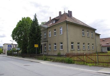
![Trail On foot Hrádek nad Nisou - [M] Hrádek nad Nisou (okruh) - Photo 3](https://media.geolcdn.com/t/2048/auto/bc1aae31-f382-4ad3-966a-4a7c38ee108a.jpeg&format=jpg&maxdim=0 "Trail On foot Hrádek nad Nisou - [M] Hrádek nad Nisou (okruh) - Photo 3")
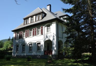
![Trail On foot Hrádek nad Nisou - [M] Hrádek nad Nisou (okruh) - Photo 4](https://media.geolcdn.com/t/2048/auto/c375ac67-f3f3-4f55-a4e9-8192f6d18478.jpeg&format=jpg&maxdim=0 "Trail On foot Hrádek nad Nisou - [M] Hrádek nad Nisou (okruh) - Photo 4")
![Trail On foot Hrádek nad Nisou - [M] Hrádek nad Nisou (okruh) - Photo 5](https://media.geolcdn.com/t/2048/auto/347c00bf-b83c-41fd-9076-cbdaea833507.jpeg&format=jpg&maxdim=0 "Trail On foot Hrádek nad Nisou - [M] Hrádek nad Nisou (okruh) - Photo 5")
![Trail On foot Hrádek nad Nisou - [M] Hrádek nad Nisou (okruh) - Photo 6](https://media.geolcdn.com/t/2048/auto/be2d3cd7-619c-49c6-be6c-48d939d730a0.jpeg&format=jpg&maxdim=0 "Trail On foot Hrádek nad Nisou - [M] Hrádek nad Nisou (okruh) - Photo 6")
![Trail On foot Hrádek nad Nisou - [M] Hrádek nad Nisou (okruh) - Photo 7](https://media.geolcdn.com/t/2048/auto/8fd17af3-30ea-490d-a1bb-c674850dd81e.jpeg&format=jpg&maxdim=0 "Trail On foot Hrádek nad Nisou - [M] Hrádek nad Nisou (okruh) - Photo 7")
![Trail On foot Hrádek nad Nisou - [M] Hrádek nad Nisou (okruh) - Photo 8](https://media.geolcdn.com/t/2048/auto/6f4bfcbc-88e0-401e-bed7-00090c8df757.jpeg&format=jpg&maxdim=0 "Trail On foot Hrádek nad Nisou - [M] Hrádek nad Nisou (okruh) - Photo 8")
![Trail On foot Hrádek nad Nisou - [M] Hrádek nad Nisou (okruh) - Photo 9](https://media.geolcdn.com/t/2048/auto/1c2d8abf-c38e-4b0c-ab91-8909d6b44ff0.jpeg&format=jpg&maxdim=0 "Trail On foot Hrádek nad Nisou - [M] Hrádek nad Nisou (okruh) - Photo 9")
![Trail On foot Hrádek nad Nisou - [M] Hrádek nad Nisou (okruh) - Photo 10](https://media.geolcdn.com/t/2048/auto/911f2843-b204-48e9-a280-904579d7bd8b.jpeg&format=jpg&maxdim=0 "Trail On foot Hrádek nad Nisou - [M] Hrádek nad Nisou (okruh) - Photo 10")
On foot
On foot
On foot
![Trail On foot Rynoltice - [Z] Rynoltice -Jitrava - Photo](https://media.geolcdn.com/t/375/260/6d77d54b-5bfe-486d-be52-f4a62639b639.jpeg&format=jpg&maxdim=2)
On foot
On foot
On foot
On foot
On foot