


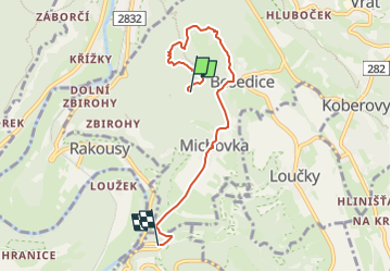

8.6 km | 10.5 km-effort

Tous les sentiers balisés d’Europe GUIDE+


FREE GPS app for hiking
 SityTrail
IGN / Geographical institutes
SityTrail World
The world is yours!
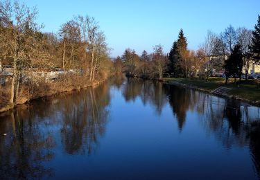
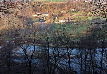
Trail On foot of 5 km to be discovered at Northeast, Liberecký kraj, Koberovy. This trail is proposed by SityTrail - itinéraires balisés pédestres.
Trail created by cz:KČT.
Chléviště


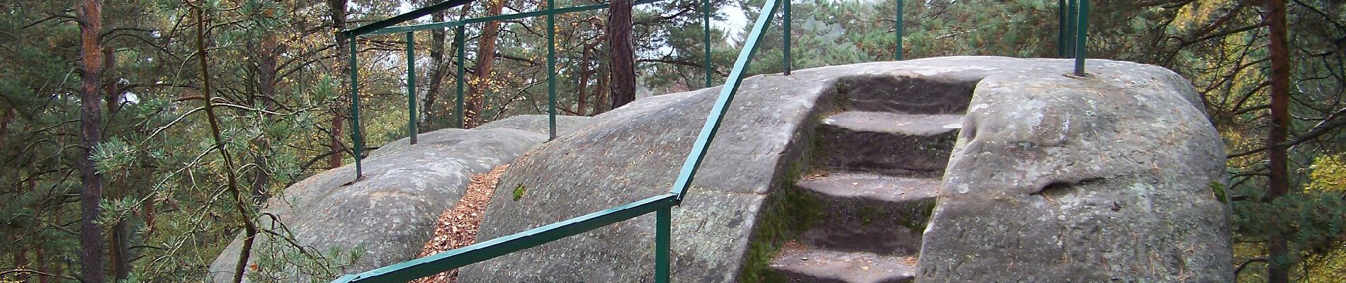
On foot
![Trail On foot Chuchelna - [Ž] Tatobity (vodojem) - Kozákov - Photo](https://media.geolcdn.com/t/375/260/60a9145e-607c-4ea0-a933-69a7b1a00525.jpeg&format=jpg&maxdim=2)
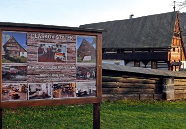
On foot
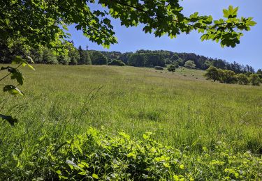
On foot
![Trail On foot Železný Brod - [Ž] Železný Brod - Haratina - okruh - Photo](https://media.geolcdn.com/t/375/260/8202f669-ebe5-4de0-ba9e-f735bb27a1ff.jpeg&format=jpg&maxdim=2)
On foot
![Trail On foot Železný Brod - [Z] Berany - Hrubá Horka - Photo](https://media.geolcdn.com/t/375/260/85b5fcbf-013c-4152-8474-e3ec21cfb00d.jpeg&format=jpg&maxdim=2)
On foot
![Trail On foot Železný Brod - [M] Železný Brod - Bozkov - Photo](https://media.geolcdn.com/t/375/260/adb30047-d63e-4dac-9668-d1ce55b1c46f.jpeg&format=jpg&maxdim=2)
On foot
On foot
On foot
On foot