


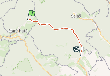

4.3 km | 5.5 km-effort

Tous les sentiers balisés d’Europe GUIDE+


FREE GPS app for hiking
 SityTrail
IGN / Geographical institutes
SityTrail World
The world is yours!
Trail On foot of 6.7 km to be discovered at Central Moravia, Zlínský kraj, Staré Hutě. This trail is proposed by SityTrail - itinéraires balisés pédestres.
Trail created by cz:KČT.
žlutá
Symbol: major


On foot
![Trail On foot Buchlovice - [Ž] Na Pile - Buchlov - Photo](https://media.geolcdn.com/t/375/260/cd9f3d7e-9687-4966-bede-9521b1c3aff1.jpeg&format=jpg&maxdim=2)
On foot
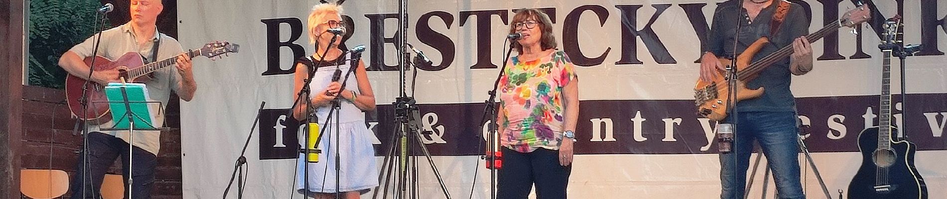
![Trail On foot Salaš - [M] Pod Brdem - Salaš - Photo](https://media.geolcdn.com/t/375/260/7a0ad7f0-5f06-4a8d-89f7-e2c4f4371e8b.jpeg&format=jpg&maxdim=2)
On foot