


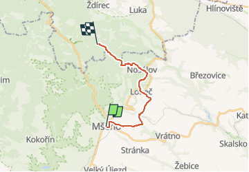

8.4 km | 11.8 km-effort

Tous les sentiers balisés d’Europe GUIDE+


FREE GPS app for hiking
 SityTrail
IGN / Geographical institutes
SityTrail World
The world is yours!
Trail On foot of 12.8 km to be discovered at Central Bohemia, Unknown, Mšeno. This trail is proposed by SityTrail - itinéraires balisés pédestres.
Trail created by cz:KČT.


On foot
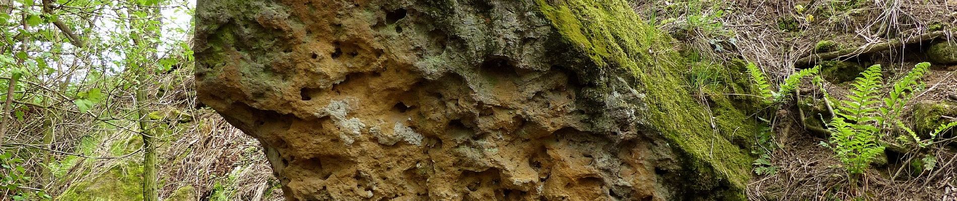
![Trail On foot Dobřeň - [Z] Velký Mšenský okruh - Photo](https://media.geolcdn.com/t/375/260/9e1e21cd-073d-4888-8c74-b7e69c1fa5e2.jpeg&format=jpg&maxdim=2)
On foot
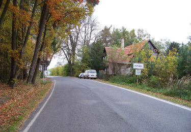
![Trail On foot Mšeno - [Č] Mšeno - U Grobiána - Photo](https://media.geolcdn.com/t/375/260/982ee8c5-03c7-4fca-841d-608ba78e558d.jpeg&format=jpg&maxdim=2)
On foot