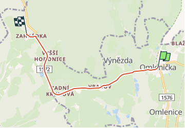

5.6 km | 7.5 km-effort
![Trail On foot Omlenice - [Ž] Zahrádka - Omlenička - Photo](https://media.geolcdn.com/t/1900/400/62c2cb13-d80e-4bec-bfc5-ba9504bd4c3d.jpeg&format=pjpeg&maxdim=2)

Tous les sentiers balisés d’Europe GUIDE+


FREE GPS app for hiking
 SityTrail
IGN / Geographical institutes
SityTrail World
The world is yours!
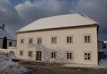
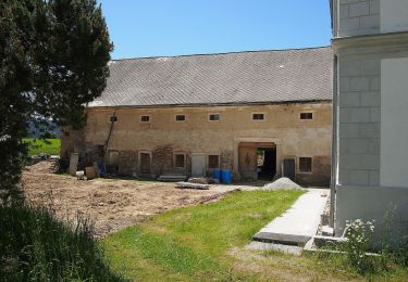
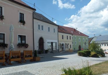
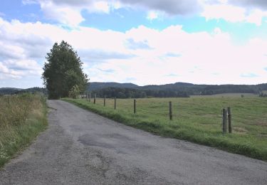
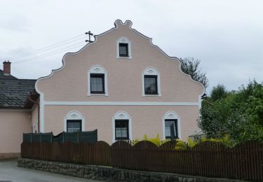
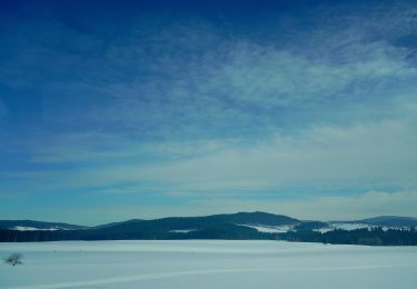
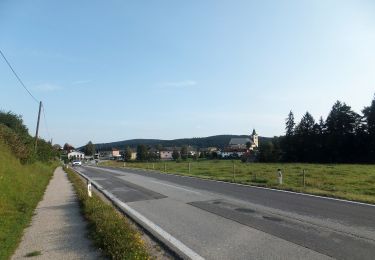
Trail On foot of 4.5 km to be discovered at Southwest, Jihočeský kraj, Omlenice. This trail is proposed by SityTrail - itinéraires balisés pédestres.
Trail created by cz:KČT.
Symbol: white yellow white
![Trail On foot Omlenice - [Ž] Zahrádka - Omlenička - Photo 1](https://media.geolcdn.com/t/2048/auto/ddb6fa2f-b6ea-485d-ac9f-5107fc55c110.jpeg&format=jpg&maxdim=0 "Trail On foot Omlenice - [Ž] Zahrádka - Omlenička - Photo 1")
![Trail On foot Omlenice - [Ž] Zahrádka - Omlenička - Photo 2](https://media.geolcdn.com/t/2048/auto/1e988af8-6091-4203-a3d6-1f38ce67d0ee.jpeg&format=jpg&maxdim=0 "Trail On foot Omlenice - [Ž] Zahrádka - Omlenička - Photo 2")
![Trail On foot Omlenice - [Ž] Zahrádka - Omlenička - Photo 3](https://media.geolcdn.com/t/2048/auto/edd9e9f9-23ad-406f-8035-b280552d9855.jpeg&format=jpg&maxdim=0 "Trail On foot Omlenice - [Ž] Zahrádka - Omlenička - Photo 3")
![Trail On foot Omlenice - [Ž] Zahrádka - Omlenička - Photo 4](https://media.geolcdn.com/t/2048/auto/cc2abaf4-3f33-43e1-be65-9d3e452ff63b.jpeg&format=jpg&maxdim=0 "Trail On foot Omlenice - [Ž] Zahrádka - Omlenička - Photo 4")
![Trail On foot Omlenice - [Ž] Zahrádka - Omlenička - Photo 5](https://media.geolcdn.com/t/2048/auto/609b2687-7354-4719-936d-3a4711835c35.jpeg&format=jpg&maxdim=0 "Trail On foot Omlenice - [Ž] Zahrádka - Omlenička - Photo 5")
![Trail On foot Omlenice - [Ž] Zahrádka - Omlenička - Photo 6](https://media.geolcdn.com/t/2048/auto/c402e15e-6953-4249-9211-9cb5834f72be.jpeg&format=jpg&maxdim=0 "Trail On foot Omlenice - [Ž] Zahrádka - Omlenička - Photo 6")
![Trail On foot Omlenice - [Ž] Zahrádka - Omlenička - Photo 7](https://media.geolcdn.com/t/2048/auto/5c62c6cc-3954-4bbb-ab3c-af1fbebf2f7b.jpeg&format=jpg&maxdim=0 "Trail On foot Omlenice - [Ž] Zahrádka - Omlenička - Photo 7")
![Trail On foot Omlenice - [Ž] Zahrádka - Omlenička - Photo 8](https://media.geolcdn.com/t/2048/auto/29e25aa9-2d19-4304-b41d-d9db3f938677.jpeg&format=jpg&maxdim=0 "Trail On foot Omlenice - [Ž] Zahrádka - Omlenička - Photo 8")
![Trail On foot Omlenice - [Ž] Zahrádka - Omlenička - Photo 9](https://media.geolcdn.com/t/2048/auto/6632d235-4537-4cfd-96f4-858db19b915e.jpeg&format=jpg&maxdim=0 "Trail On foot Omlenice - [Ž] Zahrádka - Omlenička - Photo 9")
![Trail On foot Omlenice - [Ž] Zahrádka - Omlenička - Photo 10](https://media.geolcdn.com/t/2048/auto/62c2cb13-d80e-4bec-bfc5-ba9504bd4c3d.jpeg&format=jpg&maxdim=0 "Trail On foot Omlenice - [Ž] Zahrádka - Omlenička - Photo 10")
On foot
On foot
On foot
On foot
On foot
On foot
On foot
On foot