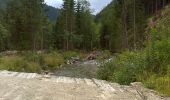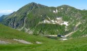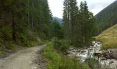

SK-Náučný ovčiarsky chodník v Račkovej doline
SityTrail - itinéraires balisés pédestres
Tous les sentiers balisés d’Europe GUIDE+

Length
6.7 km

Max alt
1451 m

Uphill gradient
6 m

Km-Effort
8.5 km

Min alt
900 m

Downhill gradient
546 m
Boucle
No
Signpost
Creation date :
2025-02-06 15:15:00.437
Updated on :
2025-02-06 15:15:00.437
1h56
Difficulty : Easy

FREE GPS app for hiking
About
Trail On foot of 6.7 km to be discovered at Region of Žilina, Unknown, District of Liptovský Mikuláš. This trail is proposed by SityTrail - itinéraires balisés pédestres.
Description
Symbol: education
Positioning
Country:
Slovakia
Region :
Region of Žilina
Department/Province :
Unknown
Municipality :
District of Liptovský Mikuláš
Location:
Pribylina
Start:(Dec)
Start:(UTM)
413765 ; 5448818 (34U) N.
Comments
Trails nearby
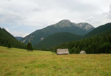
Polana Chochołowska - Polana Trzydniówka


On foot
Easy
Witów,
Lesser Poland Voivodeship,
Tatra County,
Poland

7.8 km | 16.4 km-effort
3h 43min
No
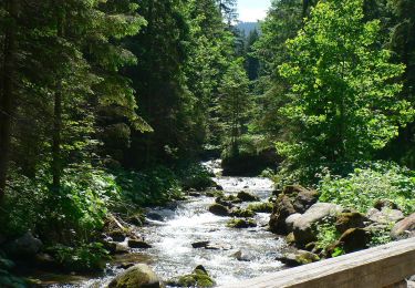
Jaszczurówka - Toporowa Cyrhla


On foot
Easy
,
Lesser Poland Voivodeship,
Tatra County,
Poland

3.9 km | 7.4 km-effort
1h 41min
No
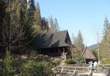
Leśniczówka Chochołowska - Hala Ornak


On foot
Easy
Witów,
Lesser Poland Voivodeship,
Tatra County,
Poland

4.8 km | 10.2 km-effort
2h 19min
No

Gronik - Małołączniak


On foot
Easy
Kościelisko,
Lesser Poland Voivodeship,
Tatra County,
Poland

6.4 km | 18 km-effort
4h 5min
No

Gronik - Kondracka Kopa


On foot
Easy
Kościelisko,
Lesser Poland Voivodeship,
Tatra County,
Poland

6.5 km | 16.9 km-effort
3h 50min
No
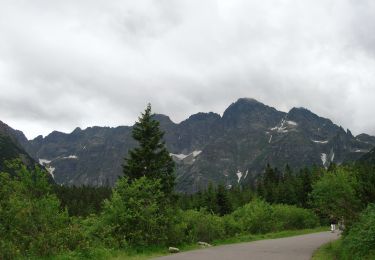
Zazadnia - Palenica Białczańska


On foot
Easy
Małe Ciche,
Lesser Poland Voivodeship,
Tatra County,
Poland

4.9 km | 8.4 km-effort
1h 54min
No

Zmarzły Staw - Odejście na Szpiglasową Przełęcz


On foot
Easy
,
Lesser Poland Voivodeship,
Tatra County,
Poland

4.9 km | 13.6 km-effort
3h 5min
No

Kasprowy Wierch (stacja kolejki) - Zagon Niżni


On foot
Medium
,
Lesser Poland Voivodeship,
Tatra County,
Poland

10.7 km | 22 km-effort
4h 59min
No
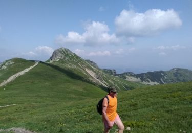
randonnée au sommet du téléphérique de Pakorane


Walking
Medium
,
Lesser Poland Voivodeship,
Tatra County,
Poland

10.8 km | 22 km-effort
6h 0min
Yes


 SityTrail


