


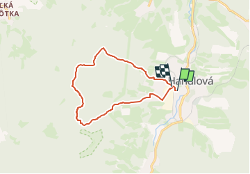

5.9 km | 9.3 km-effort

Tous les sentiers balisés d’Europe GUIDE+


FREE GPS app for hiking
 SityTrail
IGN / Geographical institutes
SityTrail World
The world is yours!
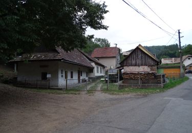
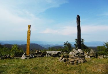
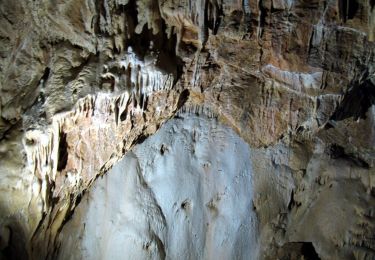
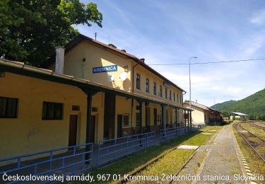
Trail On foot of 11.5 km to be discovered at Region of Trenčín, Unknown, District of Prievidza. This trail is proposed by SityTrail - itinéraires balisés pédestres.
Symbol: education


On foot

On foot
On foot
On foot
On foot
On foot
On foot

On foot

On foot