


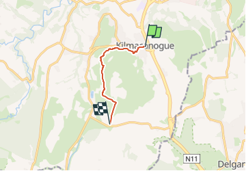

4 km | 6.1 km-effort


Tous les sentiers balisés d’Europe GUIDE+


FREE GPS app for hiking
 SityTrail
IGN / Geographical institutes
SityTrail World
The world is yours!
Trail On foot of 4.5 km to be discovered at Unknown, Unknown, Unknown. This trail is proposed by SityTrail - itinéraires balisés pédestres.
Trail created by Wicklow Uplands Council.
Symbol: Yellow Hiker
Website: http://www.wicklowuplands.ie/the-sugar-loaf-way-3/


On foot

On foot

Walking
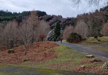
Walking