


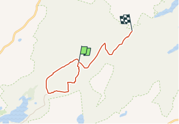

9.4 km | 12 km-effort

Tous les sentiers balisés d’Europe GUIDE+


FREE GPS app for hiking
 SityTrail
IGN / Geographical institutes
SityTrail World
The world is yours!
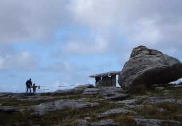
Trail On foot of 4.8 km to be discovered at Unknown, County Clare, West Clare Municipal District. This trail is proposed by SityTrail - itinéraires balisés pédestres.
Trail created by Burren National Park.
Symbol: red dot


Walking

Walking
Walking
Walking

Car
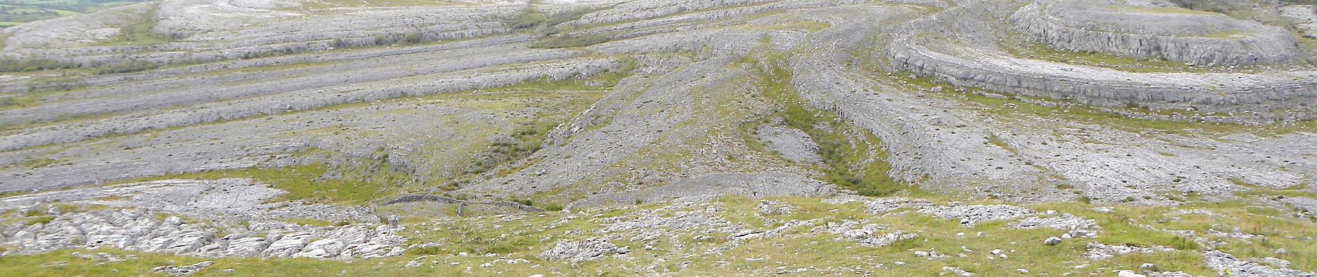
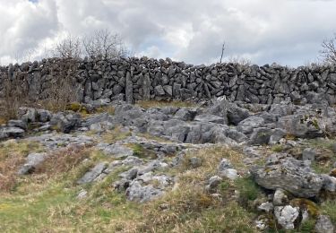
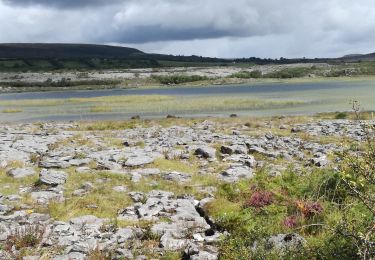
On foot