


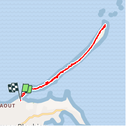


22 km | 24 km-effort


User


FREE GPS app for hiking
 SityTrail
IGN / Geographical institutes
SityTrail World
The world is yours!
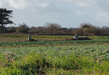
Trail Walking of 8.1 km to be discovered at Brittany, Côtes-d'Armor, Pleubian. This trail is proposed by Dervalmarc.
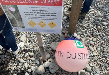
En raison de la nidification du petit Gravelot pas possible de faire le tour du Sillon d'avril à fin août. Ce qui explique le même tracé au retour.
 - Photo 1")
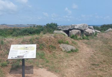
 - Photo 2")
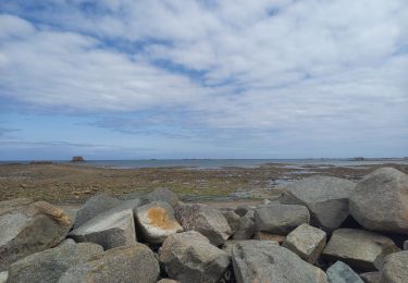
 - Photo 3")
 - Photo 4")
 - Photo 5")

Walking
Walking

Trail
Walking

Walking
Walking
Walking

Walking

Walking