![](/images/other/stat-length.png)
![Trail On foot Unknown - Mineral Valleys Walk - Escomb, Witton Park & Etherley - Photo](https://media.geolcdn.com/t/1900/400/6c779700-e716-42ea-aa48-cdf51a038b3a.jpeg&format=pjpeg&maxdim=2)
Mineral Valleys Walk - Escomb, Witton Park & Etherley
SityTrail - itinéraires balisés pédestres
Tous les sentiers balisés d’Europe GUIDE+
![Length](/images/other/stat-length.png)
Length
3.4 km
![Max alt](https://static1.geolcdn.com/siteimages/upload/files/1508320355ic_sort_altitude_max_24dp.png)
Max alt
167 m
![Uphill gradient](https://static1.geolcdn.com/siteimages/upload/files/1508320355ic_sort_den_pos_24dp.png)
Uphill gradient
87 m
![Km-Effort](/images/other/stat-length.png)
Km-Effort
4.3 km
![Min alt](https://static1.geolcdn.com/siteimages/upload/files/1508320355ic_sort_altitude_min_24dp.png)
Min alt
82 m
![Downhill gradient](https://static1.geolcdn.com/siteimages/upload/files/1508320355ic_sort_den_neg_24dp.png)
Downhill gradient
7 m
![Boucle](https://static1.geolcdn.com/siteimages/upload/files/16400158638029165_repeat_loop_refresh_sync_direction_icon.png)
Boucle
No
Signpost
Creation date :
2025-02-05 15:09:04.024
Updated on :
2025-02-05 15:09:04.024
![On foot](https://static1.geolcdn.com/sitytour/trail-icons/100.png)
58m
Difficulty : Easy
![Scan this QR Code to open this trail in the SityTrail application](https://capi.geolives.com/qq0zvz2zws4bq2lad0pu/sitytour/trails/4341845/qr.png?size=200)
FREE GPS app for hiking
About
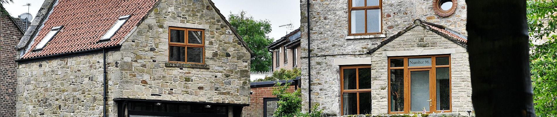
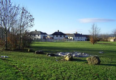
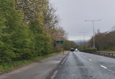
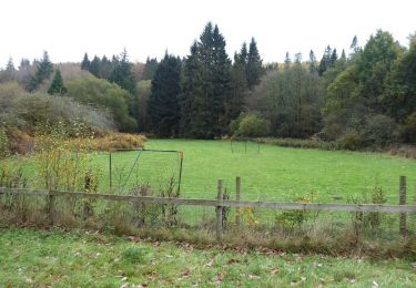
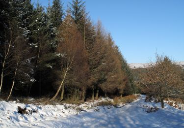
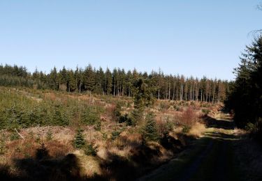
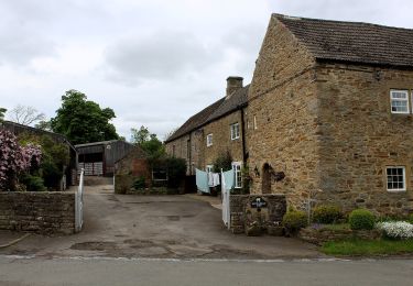
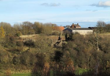
Trail On foot of 3.4 km to be discovered at England, County Durham. This trail is proposed by SityTrail - itinéraires balisés pédestres.
Description
Incomplete - missing some footpaths - some sections inpassable - not recommended!
Symbol: Mineral Valleys Walk; yellow arrow on green circle
Positioning
Country:
United Kingdom
Region :
England
Department/Province :
County Durham
Municipality :
Unknown
Location:
Unknown
Start:(Dec)
Start:(UTM)
583141 ; 6058383 (30U) N.
Comments
Trails nearby
![Trail On foot - Purple Clover Leaf Walk - Photo](https://media.geolcdn.com/t/375/260/3f3ff681-2ef7-4544-b532-b8a09adc08c5.jpeg&format=jpg&maxdim=2)
![On foot On foot](https://static1.geolcdn.com/sitytour/trail-icons/100.png)
Purple Clover Leaf Walk
On foot
Easy
,
England,
County Durham,
United Kingdom
![](/images/other/stat-length.png)
6.6 km | 7.3 km-effort
1h 39min
![](https://static1.geolcdn.com/siteimages/upload/files/16400158638029165_repeat_loop_refresh_sync_direction_icon.png)
Yes
![Trail On foot - Yellow Clover Leaf Walk - Photo](https://media.geolcdn.com/t/375/260/b3c04e01-2867-45ab-acad-3f59c0b5a9cb.jpeg&format=jpg&maxdim=2)
![On foot On foot](https://static1.geolcdn.com/sitytour/trail-icons/100.png)
Yellow Clover Leaf Walk
On foot
Easy
,
England,
County Durham,
United Kingdom
![](/images/other/stat-length.png)
6.2 km | 7.3 km-effort
1h 39min
![](https://static1.geolcdn.com/siteimages/upload/files/16400158638029165_repeat_loop_refresh_sync_direction_icon.png)
Yes
![Trail On foot - Riverside Trail - Photo](https://media.geolcdn.com/t/375/260/565b65fe-7f4f-48af-a09a-2b0bdd1a7bcd.jpeg&format=jpg&maxdim=2)
![On foot On foot](https://static1.geolcdn.com/sitytour/trail-icons/100.png)
Riverside Trail
On foot
Easy
,
England,
County Durham,
United Kingdom
![](/images/other/stat-length.png)
3.5 km | 4.3 km-effort
58min
![](https://static1.geolcdn.com/siteimages/upload/files/16400158638029165_repeat_loop_refresh_sync_direction_icon.png)
Yes
![Trail On foot - Bedburn Valley Walk - Photo](https://media.geolcdn.com/t/375/260/0a41f570-2a9a-41da-9fe2-805b8113c01c.jpeg&format=jpg&maxdim=2)
![On foot On foot](https://static1.geolcdn.com/sitytour/trail-icons/100.png)
Bedburn Valley Walk
On foot
Easy
,
England,
County Durham,
United Kingdom
![](/images/other/stat-length.png)
4.8 km | 6.3 km-effort
1h 25min
![](https://static1.geolcdn.com/siteimages/upload/files/16400158638029165_repeat_loop_refresh_sync_direction_icon.png)
Yes
![Trail On foot - Three Becks Walk - Photo](https://media.geolcdn.com/t/375/260/340d9e1f-928a-48a2-8af8-1fc0e9529e41.jpeg&format=jpg&maxdim=2)
![On foot On foot](https://static1.geolcdn.com/sitytour/trail-icons/100.png)
Three Becks Walk
On foot
Easy
,
England,
County Durham,
United Kingdom
![](/images/other/stat-length.png)
7.8 km | 10.7 km-effort
2h 26min
![](https://static1.geolcdn.com/siteimages/upload/files/16400158638029165_repeat_loop_refresh_sync_direction_icon.png)
Yes
![Trail On foot - Red Clover Leaf Walk - Photo](https://media.geolcdn.com/t/375/260/b3c04e01-2867-45ab-acad-3f59c0b5a9cb.jpeg&format=jpg&maxdim=2)
![On foot On foot](https://static1.geolcdn.com/sitytour/trail-icons/100.png)
Red Clover Leaf Walk
On foot
Easy
,
England,
County Durham,
United Kingdom
![](/images/other/stat-length.png)
4.7 km | 5.4 km-effort
1h 13min
![](https://static1.geolcdn.com/siteimages/upload/files/16400158638029165_repeat_loop_refresh_sync_direction_icon.png)
Yes
![Trail On foot - Spurlswood Walk - Photo](https://media.geolcdn.com/t/375/260/1f8c7d52-4353-4429-ac05-96f3db193161.jpeg&format=jpg&maxdim=2)
![On foot On foot](https://static1.geolcdn.com/sitytour/trail-icons/100.png)
Spurlswood Walk
On foot
Easy
,
England,
County Durham,
United Kingdom
![](/images/other/stat-length.png)
6.4 km | 7.8 km-effort
1h 45min
![](https://static1.geolcdn.com/siteimages/upload/files/16400158638029165_repeat_loop_refresh_sync_direction_icon.png)
Yes
![Trail On foot - Mineral Valleys Walk: Frosterley (Walk 3) - Photo](https://media.geolcdn.com/t/375/260/4de06158-3b2f-4130-917b-d8408732afa7.jpeg&format=jpg&maxdim=2)
![On foot On foot](https://static1.geolcdn.com/sitytour/trail-icons/100.png)
Mineral Valleys Walk: Frosterley (Walk 3)
On foot
Easy
,
England,
County Durham,
United Kingdom
![](/images/other/stat-length.png)
6 km | 7 km-effort
1h 35min
![](https://static1.geolcdn.com/siteimages/upload/files/16400158638029165_repeat_loop_refresh_sync_direction_icon.png)
No
![Trail On foot - Small Pilgrim Places (Route 1) - Photo](https://media.geolcdn.com/t/375/260/0bbf9d28-385d-4ad7-9ba7-3509d0e2df81.jpeg&format=jpg&maxdim=2)
![On foot On foot](https://static1.geolcdn.com/sitytour/trail-icons/100.png)
Small Pilgrim Places (Route 1)
On foot
Easy
,
England,
County Durham,
United Kingdom
![](/images/other/stat-length.png)
10.7 km | 12.6 km-effort
2h 51min
![](https://static1.geolcdn.com/siteimages/upload/files/16400158638029165_repeat_loop_refresh_sync_direction_icon.png)
No