


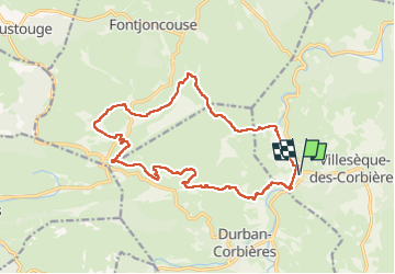

19 km | 27 km-effort

User


FREE GPS app for hiking
 SityTrail
IGN / Geographical institutes
SityTrail World
The world is yours!
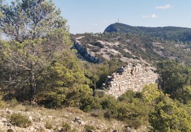
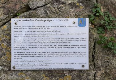
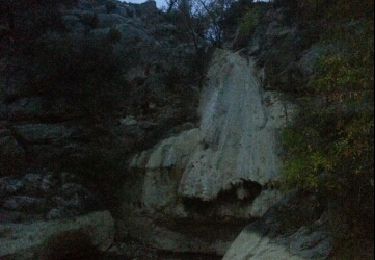
Trail Walking of 19.8 km to be discovered at Occitania, Aude, Villesèque-des-Corbières. This trail is proposed by Taupunzien .


Walking
Walking
Walking
Walking

Walking

Donkey back riding

Walking
Walking
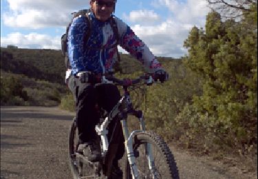
Mountain bike