


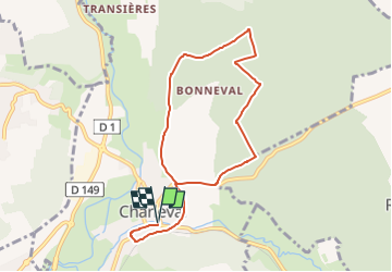

8.9 km | 10.8 km-effort


User


FREE GPS app for hiking
 SityTrail
IGN / Geographical institutes
SityTrail World
The world is yours!
Trail Walking of 8.5 km to be discovered at Normandy, Eure, Charleval. This trail is proposed by Marie-Claire-mcp.
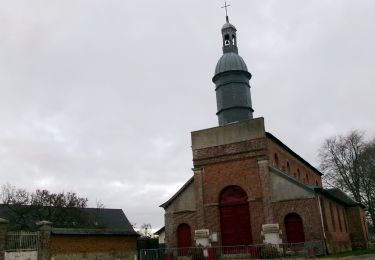
Départ du parking de Charleval sur la droite un peu après le passage sous le pont. Puis aller jusqu'à l'église et tourner à gauche puis chemin à gauche qui arrive face au cimetière. Prendre ensuite un chemin sur la gauche qui va dans la forêt.

Nordic walking
Nordic walking

Walking
Walking
Walking
Walking
Walking
Walking
Walking