


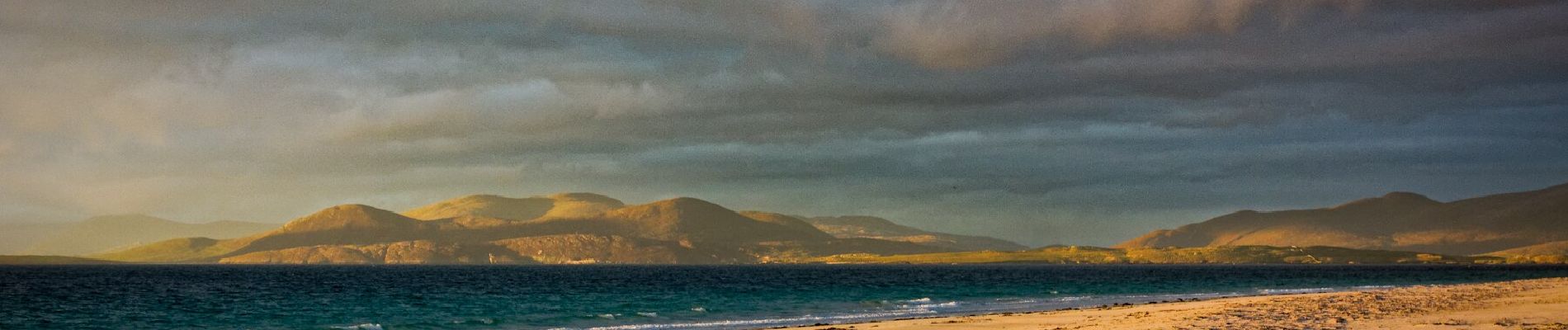
Berneray Circular Walk

SityTrail - itinéraires balisés pédestres
Tous les sentiers balisés d’Europe GUIDE+
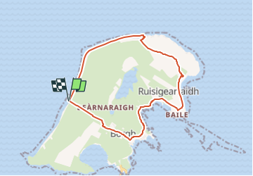

Length
11.1 km

Max alt
89 m

Uphill gradient
135 m
Km-Effort
12.9 km

Min alt
0 m

Downhill gradient
138 m
Boucle
Yes

Signpost
Creation date :
2025-02-05 13:11:16.064
Updated on :
2025-02-05 13:11:16.064
2h55
Difficulty : Easy

FREE GPS app for hiking
 SityTrail
IGN / Geographical institutes
SityTrail World
The world is yours!
About
Trail On foot of 11.1 km to be discovered at Scotland, Western Isles. This trail is proposed by SityTrail - itinéraires balisés pédestres.
Photos


Positioning
Country:
United Kingdom
Region :
Scotland
Department/Province :
Western Isles
Municipality :
Unknown
Location:
Unknown
Start:(Dec)
Start:(UTM)
606742 ; 6399095 (29V) N.
Comments
Trails nearby