


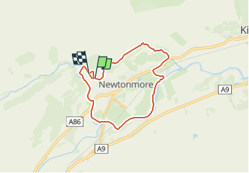

4.1 km | 5.4 km-effort

Tous les sentiers balisés d’Europe GUIDE+


FREE GPS app for hiking
 SityTrail
IGN / Geographical institutes
SityTrail World
The world is yours!
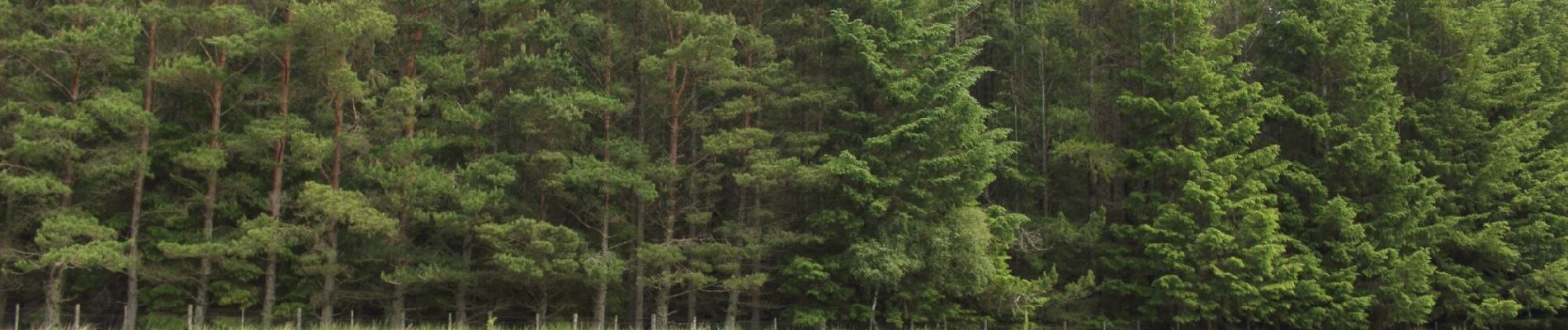
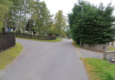
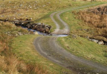
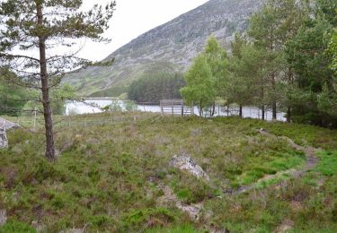
Trail On foot of 10.1 km to be discovered at Scotland, Highland. This trail is proposed by SityTrail - itinéraires balisés pédestres.
Symbol: White cat and arrows on purple background
Website: https://sites.google.com/site/thewildcattrailnewtonmore/


On foot
On foot