


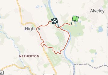

10.6 km | 11.7 km-effort


Tous les sentiers balisés d’Europe GUIDE+


FREE GPS app for hiking
 SityTrail
IGN / Geographical institutes
SityTrail World
The world is yours!
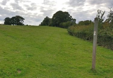
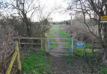
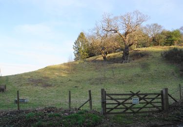
Trail On foot of 5 km to be discovered at England, Shropshire. This trail is proposed by SityTrail - itinéraires balisés pédestres.
Trail created by Shropshire Council.
Website: http://www.shropshire.gov.uk/countryside.nsf/viewAttachments/CDEN-8RWE8B/$file/highley-trail-leaflet.pdf


On foot

On foot

On foot
On foot
On foot
On foot

On foot
On foot

Motor