Trail On foot Walsall - Forest of Mercia Way - Photo

Tous les sentiers balisés d’Europe GUIDE+

© OpenStreetMap contributors
Length
Length
6.6 km
Max alt
Max alt
162 m
Uphill gradient
Uphill gradient
34 m
Km-Effort
Km-Effort  
7 km
Min alt
Min alt
143 m
Downhill gradient
Downhill gradient
33 m
Boucle
Boucle
No
Signpost
Signpost
Creation date :
2025-02-05 09:40:37.302
Updated on :
2025-02-05 09:40:37.302

(0 Reviews)

On foot
On foot
1h36
Difficulty : Easy

Scan this QR Code to open this trail in the SityTrail application

FREE GPS app for hiking

Logo SityTrail SityTrail

IGN / Geographical institutes

Download SityTrail from the App Store Download SityTrail from Google Play

Logo SityTrail SityTrail World

The world is yours!

Download SityTrail from the App Store Download SityTrail from Google Play Download SityTrail on Huawei AppGallery

About

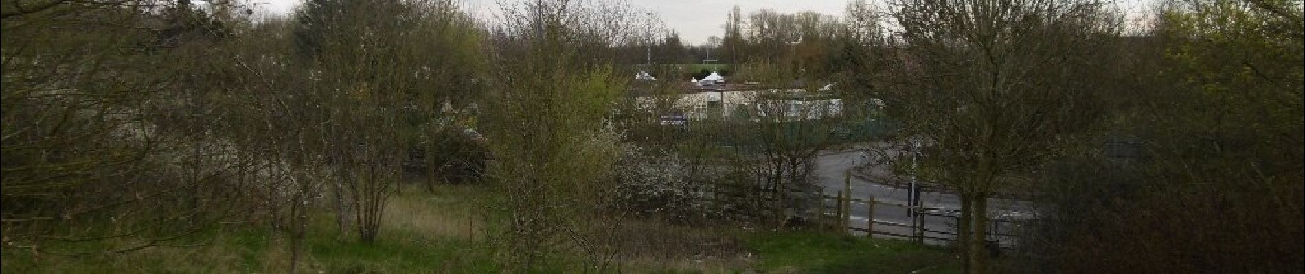
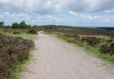
Trail On foot of 6.6 km to be discovered at England, West Midlands Combined Authority, Walsall. This trail is proposed by SityTrail - itinéraires balisés pédestres.

Description

Symbol: Green tree above a path (often faded) plaque and associated wooden posts with carved in route name

Elevation profile

Photos

Positioning

Country:
United Kingdom
Region :
England
Department/Province :
West Midlands Combined Authority
Municipality :
Walsall
Location:
Unknown
Start:(UTM)
565971 ; 5828261 (30U) N.

Trails nearby

Trail On foot Stafford - Tolkien Trail Cannock Chase Walk - Photo
On foot
GUIDE+

On foot

Easy
Stafford, England, Staffordshire, United Kingdom
15.3 km | 18.5 km-effort
4h 12min
No


Close
My subscriptions