


46 km | 51 km-effort

Tous les sentiers balisés d’Europe GUIDE+


FREE GPS app for hiking
 SityTrail
IGN / Geographical institutes
SityTrail World
The world is yours!
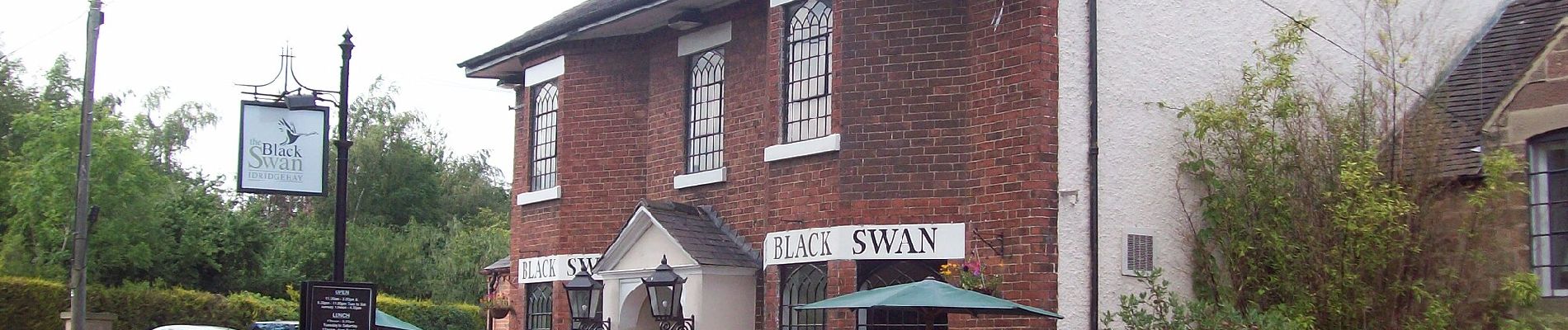
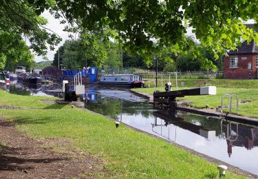
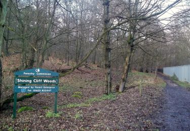
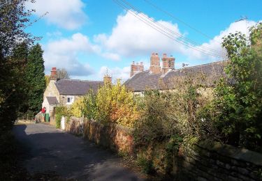
Trail On foot of 3.2 km to be discovered at England, Derbyshire, Amber Valley. This trail is proposed by SityTrail - itinéraires balisés pédestres.
There is a slightly longer and a slightly shorter version of this. This is the shorter one.
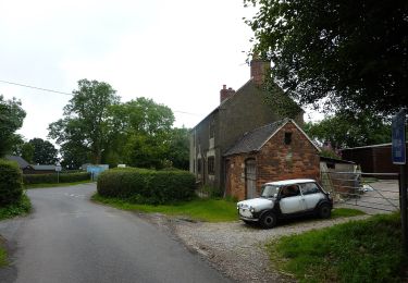
 - Photo 1")
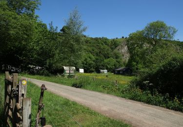
 - Photo 2")
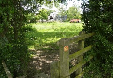
 - Photo 3")
On foot

On foot
On foot

On foot

On foot
On foot
On foot
On foot
On foot