


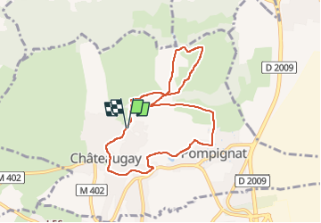

5.5 km | 7.2 km-effort

User GUIDE


FREE GPS app for hiking
 SityTrail
IGN / Geographical institutes
SityTrail World
The world is yours!
Trail Walking of 7.9 km to be discovered at Auvergne-Rhône-Alpes, Puy-de-Dôme, Châteaugay. This trail is proposed by jagarnier.
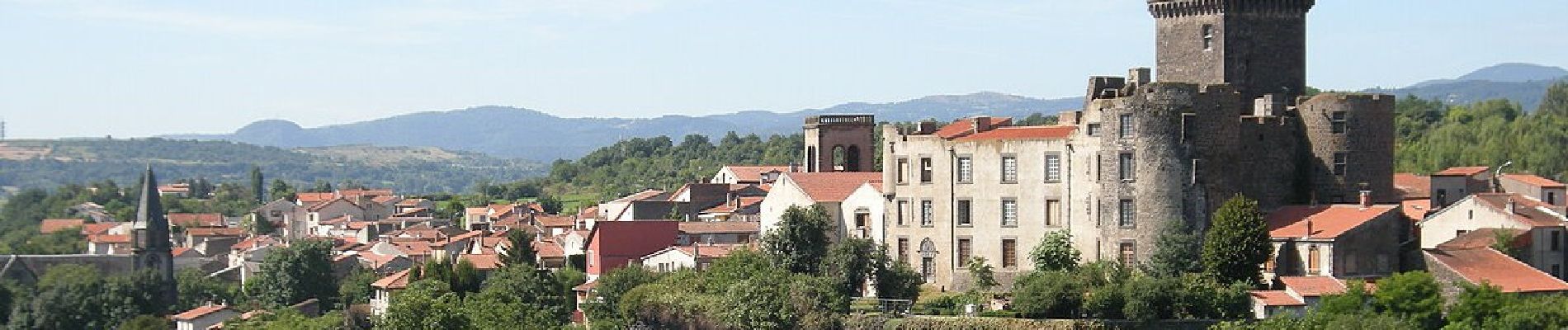
Une balade au cœur du vignoble de Châteauguay où les vignes courent sur des terrasses et les caves crèvent les coteaux. Plus haut sur le plateau où les bergers gardaient les moutons vous dominerez Châteauguay et le château de Tournoël .


Walking

Walking

Walking

Mountain bike

Walking

On foot

On foot
On foot

On foot