57 km | 70 km-effort
la redorte
clo jp
User
Length
8.8 km
Max alt
106 m
Uphill gradient
102 m
Km-Effort
10.2 km
Min alt
52 m
Downhill gradient
103 m
Boucle
No
Creation date :
2025-02-04 08:01:17.152
Updated on :
2025-02-04 13:06:03.393
5h04
Difficulty : Medium
FREE GPS app for hiking
About
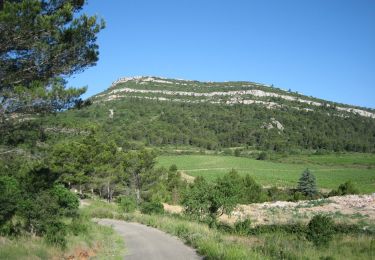
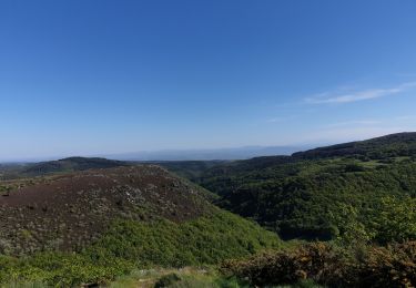
Trail Walking of 8.8 km to be discovered at Occitania, Aude, La Redorte. This trail is proposed by clo jp.
Description
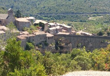
la tour carrée
Positioning
Country:
France
Region :
Occitania
Department/Province :
Aude
Municipality :
La Redorte
Location:
Unknown
Start:(Dec)
Start:(UTM)
472073 ; 4787712 (31T) N.
Comments
Trails nearby
Montbrun
Walking
Very easy
(1)
Montbrun-des-Corbières,
Occitania,
Aude,
France
9.3 km | 11.6 km-effort
2h 21min
Yes
trois col en minervois
Cycle
Very easy
(1)
Azille,
Occitania,
Aude,
France
86 km | 108 km-effort
5h 36min
Yes
MONTBRUN DES CORBIERES rocher du renard
Walking
Easy
Montbrun-des-Corbières,
Occitania,
Aude,
France
7.4 km | 9.3 km-effort
1h 30min
Yes
ESCALES - La tour Romane
Walking
Very easy
(1)
Escales,
Occitania,
Aude,
France
4.2 km | 5.6 km-effort
1h 5min
Yes
En Corbières - Le Bosquet - Castelnau d'Aude
Walking
Medium
Castelnau-d'Aude,
Occitania,
Aude,
France
4.8 km | 5.8 km-effort
2h 30min
Yes
Reco Officielle Marche RED'S 15.10.2022
Walking
Very difficult
(1)
Saint-Couat-d'Aude,
Occitania,
Aude,
France
25 km | 34 km-effort
7h 44min
Yes
Salette croix de sou
Road bike
Difficult
Azille,
Occitania,
Aude,
France
72 km | 91 km-effort
5h 19min
Yes