


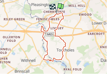
Reelers Trail - Witton Weavers Way

SityTrail - itinéraires balisés pédestres
Tous les sentiers balisés d’Europe GUIDE+

Length
12.8 km

Max alt
235 m

Uphill gradient
213 m
Km-Effort
15.6 km

Min alt
111 m

Downhill gradient
210 m
Boucle
Yes

Signpost
Creation date :
2025-02-04 10:14:44.892
Updated on :
2025-02-05 08:08:20.358
3h33
Difficulty : Easy

FREE GPS app for hiking
 SityTrail
IGN / Geographical institutes
SityTrail World
The world is yours!
About
Trail On foot of 12.8 km to be discovered at England, Blackburn with Darwen. This trail is proposed by SityTrail - itinéraires balisés pédestres.
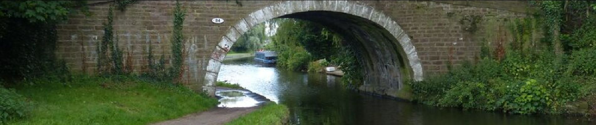
Photos


Positioning
Country:
United Kingdom
Region :
England
Department/Province :
Blackburn with Darwen
Municipality :
Unknown
Location:
Unknown
Start:(Dec)
Start:(UTM)
531239 ; 5953465 (30U) N.
Comments
Trails nearby