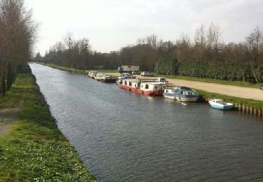
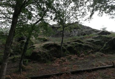
43 km | 48 km-effort
gfgfg
Bouiljm
User
Length
11.7 km
Max alt
63 m
Uphill gradient
71 m
Km-Effort
12.6 km
Min alt
26 m
Downhill gradient
70 m
Boucle
Yes
Creation date :
2025-02-03 08:08:41.914
Updated on :
2025-02-03 10:19:36.752
2h10
Difficulty : Difficult
FREE GPS app for hiking
About
Trail Walking of 11.7 km to be discovered at Brittany, Ille-et-Vilaine, Cintré. This trail is proposed by Bouiljm.
Positioning
Country:
France
Region :
Brittany
Department/Province :
Ille-et-Vilaine
Municipality :
Cintré
Location:
Unknown
Start:(Dec)
Start:(UTM)
584110 ; 5328645 (30U) N.
Comments
Trails nearby
La balade de Cohan
On foot
Easy
Breteil,
Brittany,
Ille-et-Vilaine,
France
7.2 km | 7.9 km-effort
1h 47min
Yes
Chavagne_Ecluse de Cicé
Cycle
Easy
Le Rheu,
Brittany,
Ille-et-Vilaine,
France
18.6 km | 20 km-effort
Unknown
Yes
La Chapelle Thouarault
Walking
Very easy
(2)
La Chapelle-Thouarault,
Brittany,
Ille-et-Vilaine,
France
12.4 km | 13.6 km-effort
3h 1min
Yes
191004 Le Verger\Monterfil
Walking
Easy
Le Verger,
Brittany,
Ille-et-Vilaine,
France
24 km | 29 km-effort
6h 2min
Yes
17/02
Walking
Difficult
Le Verger,
Brittany,
Ille-et-Vilaine,
France
13.4 km | 15.6 km-effort
2h 56min
Yes
Mordelles La voie du Meu
Walking
Very easy
Mordelles,
Brittany,
Ille-et-Vilaine,
France
9 km | 9.9 km-effort
2h 25min
Yes
Mordilles B1
Walking
Mordelles,
Brittany,
Ille-et-Vilaine,
France
9.1 km | 9.9 km-effort
2h 25min
Yes
Du serein au rohuel
Walking
Medium
Le Verger,
Brittany,
Ille-et-Vilaine,
France
13.1 km | 15.4 km-effort
3h 54min
Yes