


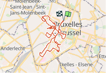


12.8 km | 15.1 km-effort

User


FREE GPS app for hiking
 SityTrail
IGN / Geographical institutes
SityTrail World
The world is yours!
Trail Walking of 12.9 km to be discovered at Brussels-Capital, Unknown, City of Brussels. This trail is proposed by Geert H..
Een stadswandceling in het centrum van Brussel zonder al te veel gepland te hebben van wat we wilden zien of doen.


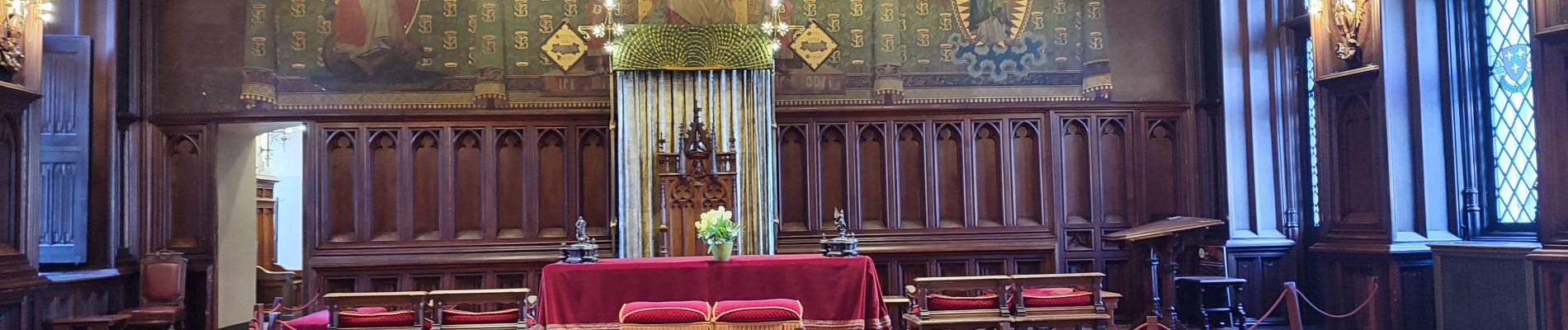
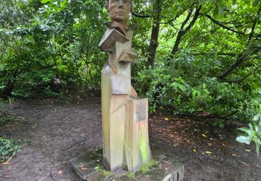
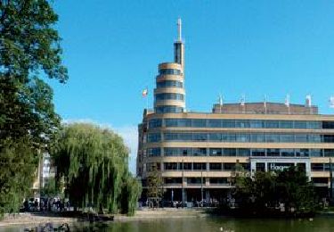
31 photos in total. Please click on a photo to see them all in the gallery.

Walking

Walking

Walking

Walking

Walking
Walking

Walking

Walking
Walking