


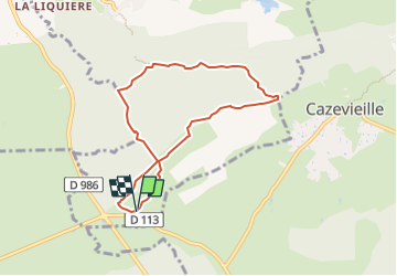


12.5 km | 14.9 km-effort


User


FREE GPS app for hiking
 SityTrail
IGN / Geographical institutes
SityTrail World
The world is yours!
Trail Walking of 7.2 km to be discovered at Occitania, Hérault, Mas-de-Londres. This trail is proposed by gadafo.
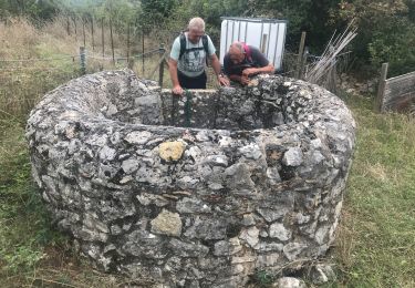
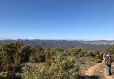
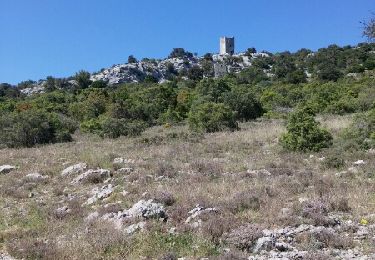
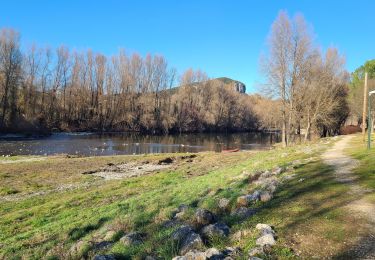
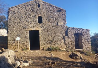
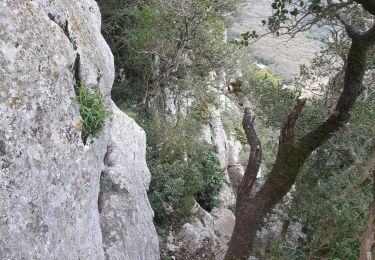
Au coeur de la forêt domaniale du Pic Saint-Loup, ce parcours agréable traverse les bois entretenus par l’Office national des forêts et accède à un belvédère, offrant une vue panoramique d’exception.
Walking
Walking
Walking

Walking
Walking
Walking

Walking
Walking

Walking